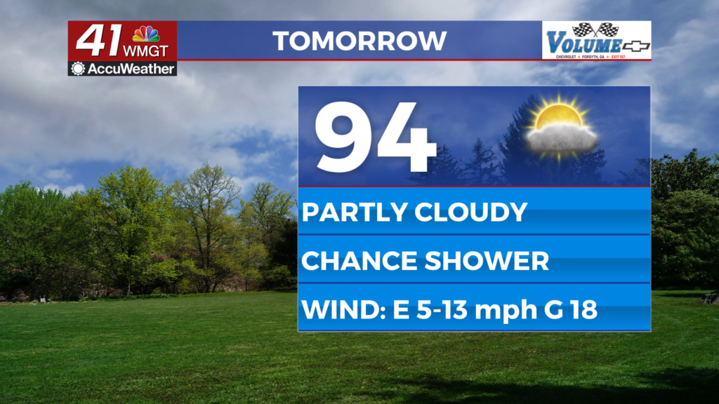
Mainly dry weather prevails as above-normal temps continue
MACON, Georgia (41NBC/WMGT) – The overhead core of an unusually strong ridge and cold air damming at the surface will compete against one another regarding weather impacts today and 


tomorrow. Strong subsidence (descending motion of air in the atmosphere occurring over a broad area) continues to suppress rain chances, although a couple of showers and thunderstorms are possible later today in the east, filtering through our building easterly flow. Winds will be breezy this afternoon, and highs will remain similarly hot (in the 90s areawide), just a tad cooler than yesterday. Increased mixing within the wedge zone will help tap down the dewpoints, preventing more oppressive heat from happening. For Wednesday, broad scale changes to our present flow 


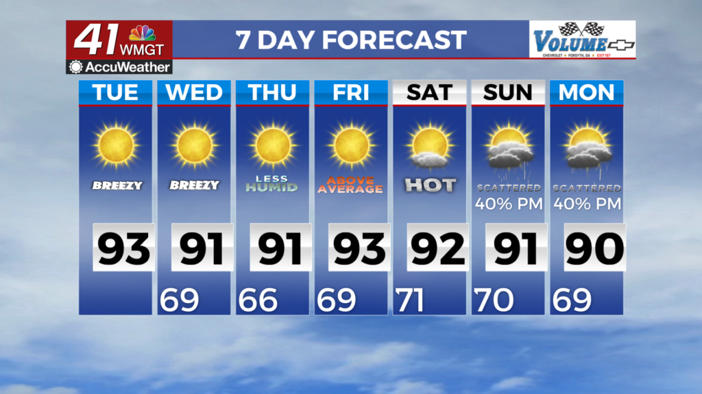
pattern will be minimal to negligible, with conditions expected to mirror today; hot, breezy, and dry for most. A comparatively much drier airmass will filter in on the easterly winds characteristic of the wedge airmass (dewpoints in the upper 50s to 60s), keeping feel like temperatures within a couple degrees of air temperatures once again in the 90s. The extended forecast for North and Middle Georgia remains largely uneventful. Subsidence associated with mid-level ridging and a surface high extending up the East Coast should largely suppress any meaningful precipitation for most through Thursday. Models suggest ridging at the mid-levels begins to break down leading to the eventual return of moisture by the weekend into early next week. Precipitation chances remain low (30%) through Saturday, but we’re likely to see chances increase slightly early next week (40%) as southerly flow strengthens. As far as temperatures go, the heat will stick around us for a little while longer. Temperatures are expected to rise into the 90s each afternoon and fall to the 60s to low 70s each night and early morning.