Lovely end to the week on deck for Middle Georgia.
MACON, Georgia (41NBC/MGT) – High pressure moving into Middle Georgia will keep the sun around to end the work week.
The Rest of the Evening


Scattered clouds over the southern half of the region from this afternoon will clear out this evening. The winds from the north-northwest will continue to be breezy with gusts upwards of 15 mph possible through tonight. It will be a cold night with low temperatures largely falling into the lower 40s. A few upper 30s will be possible as well. Wind chills may be in the upper 30s for many parts of Middle Georgia to begin Friday.
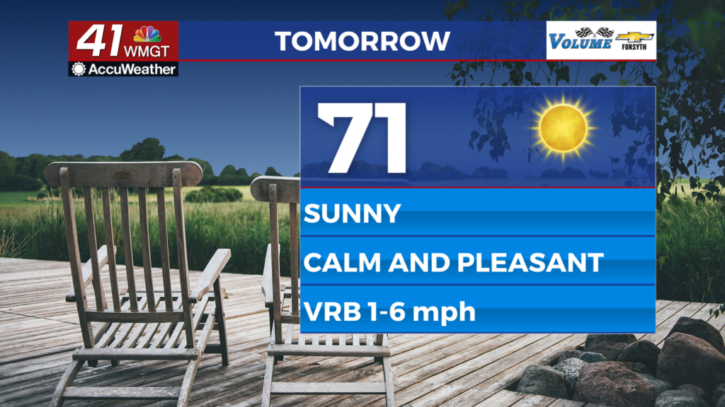
Tomorrow


It will be a beautiful sunny day to finish the work week. Clouds will be very hard to come by, highs will reach the lower 70s for most of the region, and winds will be light and variable. Pollen levels will remain low ahead of the weekend, but expect them to rise as temperatures go up.


Overnight some scattered clouds are expected to move in, especially after midnight. It will be a cool night with lows in the mid to upper 40s heading into Saturday morning. Winds will come from the west-southwest around 5 mph.
Easter Weekend


Saturday will begin with some scattered clouds leftover from Friday night, however these will likely clear by lunchtime. Highs will reach the mid to upper 70s with ambient wind coming from the southwest at 5-10 mph.

Easter Sunday will be partly sunny with scattered cumulus clouds likely during the midday hours. A few cirrus clouds may also be present at the upper level. It will be warm with highs largely reaching the lower 80s around Middle Georgia. Winds will remain out of the southwest at about 5-12 mph.

Follow Meteorologist Aaron Lowery on Facebook (Aaron Lowery 41NBC) and Twitter (@ALowWX) for weather updates throughout the day. Also, you can watch his forecasts Monday through Friday on 41NBC News at 4, 5, 5:30, 6, and 11 p.m.