


Incoming cold front to bring storms Tuesday night
MACON, Georgia (41NBC/WMGT) – A cold front from the west will bring scattered storms overnight Tuesday before dropping temperatures leading into Thanksgiving.
This Evening
It’s been a partly cloudy and warm start to Thanksgiving week around Middle Georgia. Conditions will remain warm and muggy through tonight as wind will flow from the southeast at 5-10 mph. This is courtesy of a warm front pushing northward. Fog will be possible overnight and through the sunrise tomorrow with most lows likely to be in the upper 50s around the region.
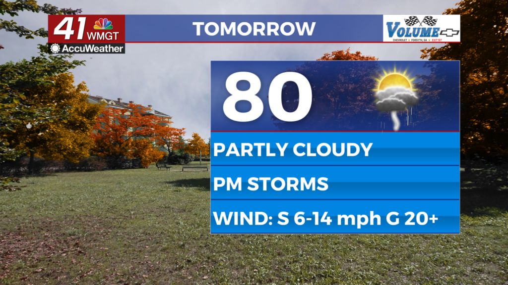
Tomorrow
A partly cloudy start is likely Tuesday before more clouds fill in through the afternoon. Highs will push to around 80 degrees around the region accompanied by southerly winds of 5-15 mph. Gusts will likely reach over 20 mph through the afternoon and the evening. A couple stray showers will also be possible however most of the rain associated with the incoming front will hold off until overnight.


As for those storms a Level 1 “Marginal” threat for severe storms overnight tomorrow night. The main hazard will be a few damaging wind gusts however some hail cannot be ruled out.


It will be a very warm night with lows likely in the low to mid 60s ahead of Wednesday morning. A few showers or perhaps a storm may still be going by sun-up on Wednesday.
Wednesday and Beyond
Sunnier conditions will return by Wednesday afternoon as the wind shifts out of the west-northwest. It will be quite windy as gusts will range from 20-30 mph (sustained 5-15). Thanksgiving will be sunny and chilly with highs likely to be below 60 degrees for most of the region. The wind will also still be quite pronounced on Turkey Day as well, so plan accordingly.

Follow Chief Meteorologist Aaron Lowery on Facebook (Aaron Lowery 41NBC) and X (@ALowWX) for weather updates throughout the day. Also, you can watch his forecasts Monday through Friday on 41NBC News at 4, 5, 5:30, 6, and 11 p.m.