Hot conditions continue Tuesday
MACON, Georgia (41NBC/WMGT) –
This Evening


A partly cloudy and hot afternoon will become a partly cloudy and warm night for Middle Georgia. During the evening hours one or two showers or storms will be possible, however the vast majority of the region should stay dry. No severe weather is expected with any storms that develop either. Lows tonight will be in the mid to upper 60s accompanied by light winds from the west-southwest.
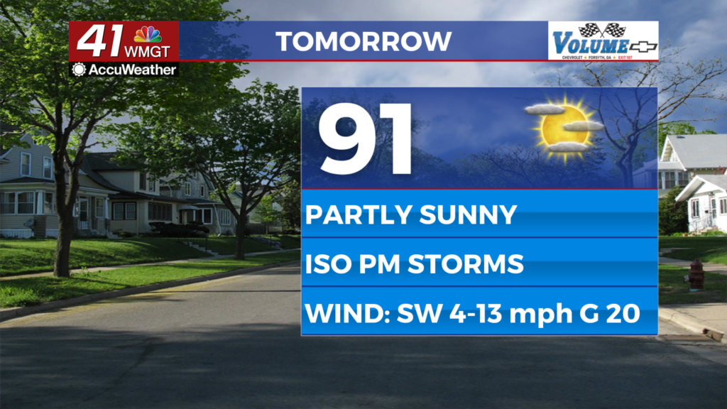
Tomorrow


A partly sunny day is likely for Middle Georgia Tuesday as high temperatures will push into the lower 90s. Heat indexes will likely reach the mid to upper 90s across the region. A couple of isolated storms will be possible in the late evening, however rain is unlikely while the sun is out. Wind will flow from the southwest at 5-13 mph.


Overnight rain chances will climb as a cold front approaches from the northwest. The best window for storms will be leading up to the sunrise Wednesday. The northern half of the region has higher storm odds with this than the southern half of the region. Lows will be in the upper 60s for most of Middle Georgia.
Wednesday and Beyond


The cold front will continue through Middle Georgia Wednesday, possibly spurring on some showers and storms over the southern parts of the region during the mid afternoon. Expect clearing skies overall with mostly sunny skies over the northern parts of Middle Georgia. Temperatures will drop to finish the week following the passage of said cold front.

Follow Chief Meteorologist Aaron Lowery on Facebook (Aaron Lowery 41NBC) and Twitter (@ALowWX) for weather updates throughout the day. Also, you can watch his forecasts Monday through Friday on 41NBC News at 4, 5, 5:30, 6, and 11 p.m.


