Gloomy weather to stick around for Halloween
MACON, Georgia (41NBC/WMGT) – Cloudy skies and scattered showers will stick around for much of our Halloween in Middle Georgia.
Today


We woke to thick fog and scattered showers in many parts of Middle Georgia this morning. That fog is still hanging around in many areas as we head into the late morning hours, however the rain activity has slowed for the most part. We will see temperatures climb into the upper 70s and lower 80s this afternoon around the region. Ambient wind will come from the southwest at 4-11 mph. Gusts could reach speeds of up to 17 mph.


Sky conditions will remain cloudy for most of the remainder of the day, however a few pockets of sunshine will be possible here and there. A second wave of showers and storms is likely to fire up in the afternoon, mainly in the eastern counties of the region. Most of that activity should be gone by the time we get to Trick-or-Treat, but if not, send your kiddos off with an umbrella.


The cloudy skies will hang around through Trick-or-Treat before beginning to break up around midnight. We should wake up to mostly clear conditions tomorrow with lows in the 50s. Overnight winds will blow from the northwest at about 5 mph with the weak cold front passing through ahead of the sunrise. Some patchy fog will be possible early tomorrow morning.
Tomorrow


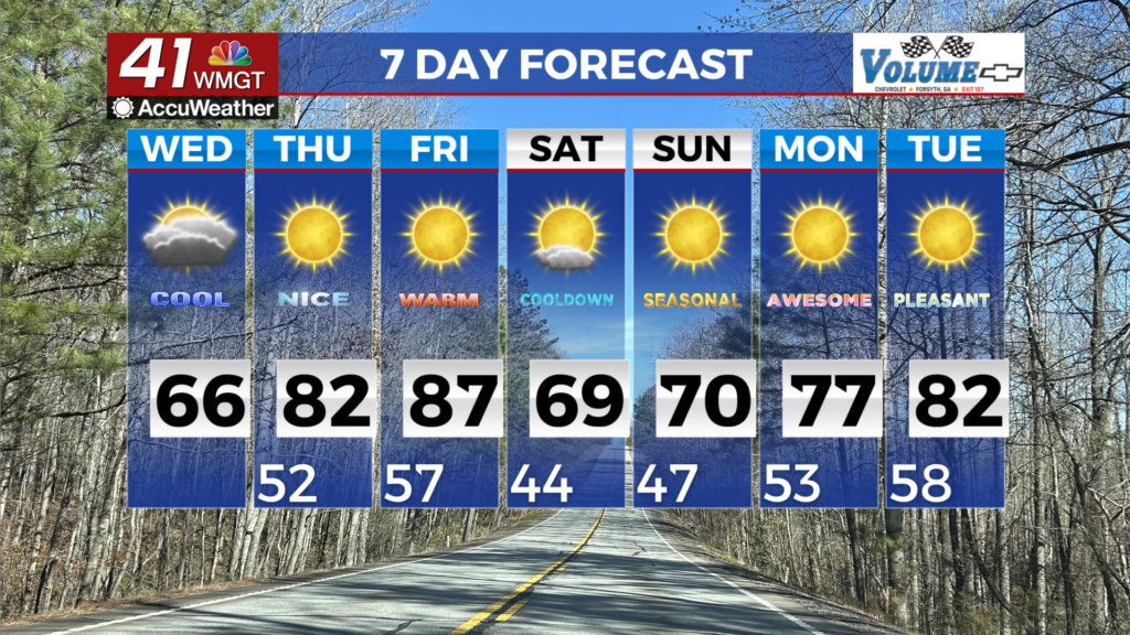
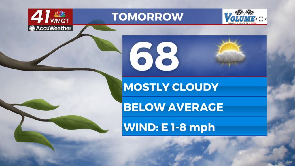
We should have a bit more sun around the region for our Tuesday, however cloud cover is going to increase as the day progresses. High temperatures will be in the upper 70s for most of the region with ambient winds blowing from the north-northwest at about 5 mph. We should not see any rain tomorrow as we will be behind the cold front with the system dissipating and reforming further north.


Tomorrow night we will see mostly cloudy skies as temperatures drop into the mid 50s. Ambient winds will blow from the north at about 5 mph. Given the calm overnight conditions and the fact that the moisture content will remain high in the area this week patchy fog will be likely heading into Wednesday morning.
Wednesday and Beyond

The rest of our week will see highs in the upper 70s with a mix of sun and clouds in the afternoon. Most of the nights will be relatively cloudy with plenty of opportunity for patchy fog. Stronger winds will look to move in ahead of the weekend, however storm chances should remain low.

Follow Meteorologist Aaron Lowery on Facebook (Aaron Lowery 41NBC) and Twitter (@ALowWX) for weather updates throughout the day. Also, you can watch his forecasts Monday through Friday on 41NBC News at Daybreak (6-7 a.m.) and 41Today (11 a.m).