Fall cooldown on the way
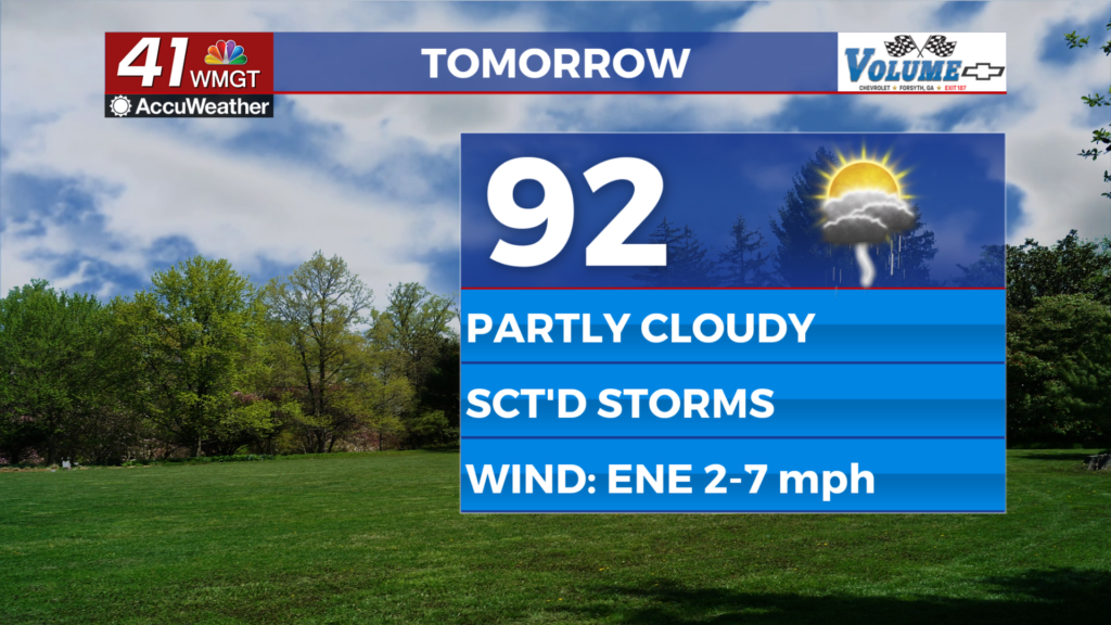
MACON, Georgia (41NBC/WMGT) – Tuesday has a very similar look as Monday. A weak shortwave will approach the area as part of a more complex upper level low and provide for some broad 


lift across North Georgia and the Atlanta metro area. The front will sag a little further south thanks to both a strengthening surface high to the north and reinforcement from convective cold pools and outflow. All of this will allow for continued showers and thunderstorms. There is some signal for these storms to be ongoing, although the stronger storms and more widespread coverage will likely occur within the afternoon and evening due to daytime heating. Concerns will exist for a wet microburst in the strongest storms. Highs will again be in the 90s for at least one more time — at least this week. Tuesday night will see the very strong high continue to slide into position northeast, that will center over the far northern Appalachians. Cold air damming should well be in place 


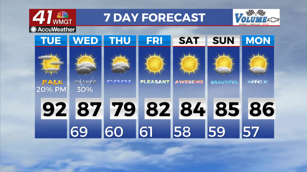
by Wednesday morning and only advance further from there. We will be in the midst of a pattern shift at the start of Wednesday and there are some uncertainties worth noting. Showers and isolated thunderstorms may be ongoing across parts of North Georgia on Wednesday morning. The location and extent of this activity will be dependent on how things evolve on Tuesday and how far the cold front makes it into the region. Also, we’ll start to see high pressure extend southward from the Northeast U.S. lending to a wedge front set up across the Appalachians beginning on Wednesday. Rain chances are likely to be highest along and south of these boundaries where the warm unstable airmass remains and where outflow boundaries from storms on Tuesday evening end up. The exact location remains uncertain at this time. Models continue to be in agreement with the strengthening of the wedge late Wednesday into Thursday. A low pressure system traveling north off the Atlantic coastline will help reinforce high pressure with some models suggesting a strong high setting up over the Northeast U.S. and southern Canada. There may be enough moisture to support isolated showers and thunderstorms across North Georgia on Thursday but most look to remain dry. North to northeasterly flow will usher in drier air as we head into the latter half of the week and weekend which will be reflected in the temperatures. Forecast high will be in the 70s to 80s and forecast lows in the 50s to 60s by Thursday with mostly dry weather Friday through early next week.