Dry weather returns to Middle Georgia after cold front
MACON, Georgia (41NBC/WMGT) – Cooler and dry air is taking over the Peach State following a cold front yesterday afternoon.
Today


It was a cooler morning around Middle Georgia to kick off our Wednesday. Temperatures for most of the region fell between 10 and 20 degrees from what we woke up to yesterday. It will be a cooler afternoon as well; forecast highs for the region are in the upper 70s and lower 80s; most of Middle Georgia reached into the mid 80s yesterday afternoon. We will see very few clouds later on today, so anyone with extended plans outdoors should keep the sunblock handy.


Another important change from yesterday is the humidity. With the wind now coming in from the northeast, dry air is flowing into Middle Georgia instead of moist air. Humidity values are likely to drop below 25% for several spots in Middle Georgia later today. The National Weather Service has issued a Special Weather Statement for most of the region until 8PM EDT regarding the potential for fires due to the dry and slightly breezy conditions. While today’s wind isn’t anticipated to be anything crazy, gusts could still reach up to 20 mph. Sustained speeds should stay in the 5-10 mph range.


Tonight will remain clear and dry as temperatures drop to their lowest point of the week. Forecast lows for most of Middle Georgia tonight are in the lower 50s. The northeast winds will persist at about 5 mph.
Tomorrow


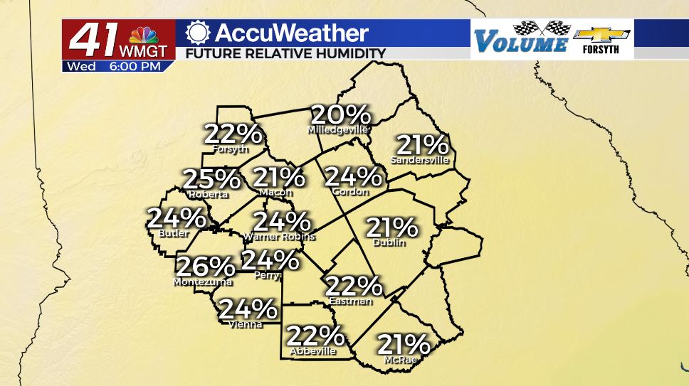
Tomorrow will be the driest day of the week as afternoon humidity values drop below the 20% mark for most of Middle Georgia. The National Weather Service will almost certainly issue a Special Weather Statement in relation to wildfires tomorrow afternoon as well, however there is the slight chance that they issue a Red Flag Watch instead. We have seen very little rain in Middle Georgia over the past couple of weeks and drought conditions have likely worsened (the new monitor is released at 8:30 am EDT Thursday). It will be a warmer day as highs reach the low 80s across the region. Winds will primarily come in from the east-southeast at 5-10 mph.


Overnight the wind will return to the southeast at 5-10 mph, beginning to feed moisture and heat back into the Georgia atmosphere. Low temperatures will return to the lower 50s. Cloud cover will begin to increase a bit after midnight and ahead of the sunrise on Friday.
Friday and the Weekend

More cloud cover will fill in Friday, however it will be scattered in nature and not a complete blanket. Some isolated showers and storms will be possible in the afternoon as highs reach the low to mid 80s around Middle Georgia. Winds will come in from the south-southeast at 5-10 mph.

Saturday will have partly cloudy skies in the afternoon as well. More scattered thunderstorms will be possible during the afternoon hours as highs reach the mid to upper 80s. Winds will persist from the south at 5-10 mph.
Sunday will see even more cloud cover, however rain chances will not elevate much from Friday and Saturday. More isolated showers and storms will be possible during the afternoon as highs reach the upper 80s for most of the region. A couple of spots may get close to 90 degrees.

Follow Meteorologist Aaron Lowery on Facebook (Aaron Lowery 41NBC) and Twitter (@ALowWX) for weather updates throughout the day. Also, you can watch his forecasts Monday through Friday on 41NBC News at Daybreak (6-7 a.m.) and 41Today (11 a.m).