Dry weather leads to possible High Fire Danger Conditions
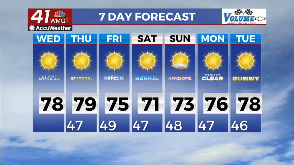
MACON, Georgia (41NBC/WMGT) – High pressure over the southeast is expected to sit and spin in place through the rest of the work week. There is no sign of precipitation in any of the models 


and that isn’t expected to do us any favors when it comes to the drought monitor going forward. We get some moisture return spreading through the coverage area tomorrow, although a few of the fire zones could briefly see Relative Humidity values fall below 30 percent. For this reason the National Weather Service has issued a High Fire Danger conditions statement for North and Middle 


Georgia for a few hours this afternoon. Temperatures during the daytime will climb into the mid 70s across most of the coverage area with winds out of the north with overnight lows in the mid to low 40s. The models remain in good agreement showing high pressure dominating the weather pattern and keeping things dry through early next week. North and Middle Georgia will remain dry in this set up, as primarily northerly flow keeps rain chances near zero. High temperatures expected to remain mainly in the 70s through the period with the warmest day Thursday with highs getting to near 80 degrees across central portions of the state. The models do show the overall flow switching from the northwest to east-north-east Friday allowing a little bit of moisture return across south and Middle Georgia Saturday through Monday. Right now, the most we should see from this is some increased cloud cover but that should be about it.