Current weather pattern carries into new month.
MACON, Georgia (41NBC/WMGT) –
This Evening


Thursday has been mostly cloudy for much of Middle Georgia, limiting temperatures to only climbing into the low to mid 80s vs the expected upper 80s. Isolated storm chances will increase into the late evening and possibly overnight hours. Aside from storms skies will feature scattered clouds as temperatures valley into the lower 60s. Wind will remain out of the south-southwest at around 7 mph.
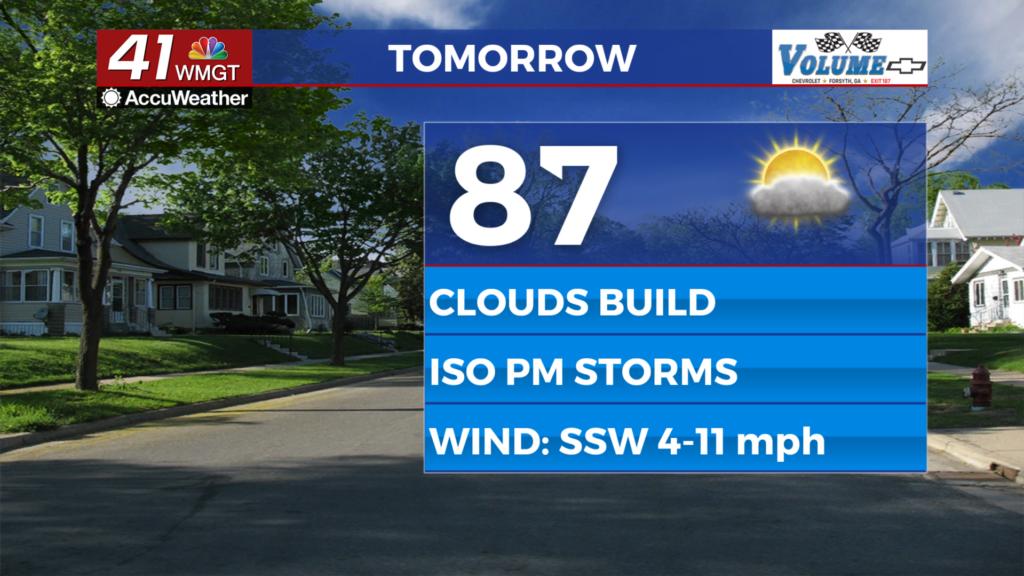
Tomorrow


Partly cloudy skies overall are expected for the final day of the work week and May’s First Friday. There will be more sun in the morning than the afternoon, however. Highs will reach the mid to upper 80s with wind staying from the south-southwest at 5-11 mph. A few showers or storms will be possible in the late afternoon and evening, however most of the region should stay dry.


Overnight will be mostly cloudy and could also feature a couple of showers or a storm. Lows will be in the low to mid 60s as the wind stays pretty calm from the south-southwest.
This Weekend


A cold front is expected to pass through Georgia Saturday and it will bring widespread scattered storms to Middle Georgia over the back half of the day. As of now a Level 1 “Marginal” risk for severe weather includes Middle Georgia for that day, however a Level 2 “Slight” risk cannot be ruled out at this time. A few storms may linger into early Sunday before clearing takes place to finish off the weekend.

Follow Chief Meteorologist Aaron Lowery on Facebook (Aaron Lowery 41NBC) and Twitter (@ALowWX) for weather updates throughout the day. Also, you can watch his forecasts Monday through Friday on 41NBC News at 4, 5, 5:30, 6, and 11 p.m.


