


Cooler conditions return following yesterday’s cold front
MACON, Georgia. (41NBC/WMGT) – Temperatures are becoming seasonable again after a cold front brought cooler conditions back to the Peach State.
Today
With the passing of the cold front last night the wind quickly shifted back to the north-northwest for Middle GA. Combined with a lack of cloud cover overnight temperatures dropped back into the lower 30s this morning for most of the region. Several locations were seeing wind chills at or below freezing thanks to northwestern breezes. Those will stay with us today as the sunshine sticks with us this afternoon. Highs around the region will be in the upper 40s and lower 50s this afternoon with only a few high clouds moving through during the middle of the day.


Overnight skies will remain clear however the wind will shift slightly to the northeast. The wind will also calm to around 5 mph vs the 5-10 mph during the day today. Lows overnight will drop below freezing across Middle GA heading into Saturday morning.
Tomorrow
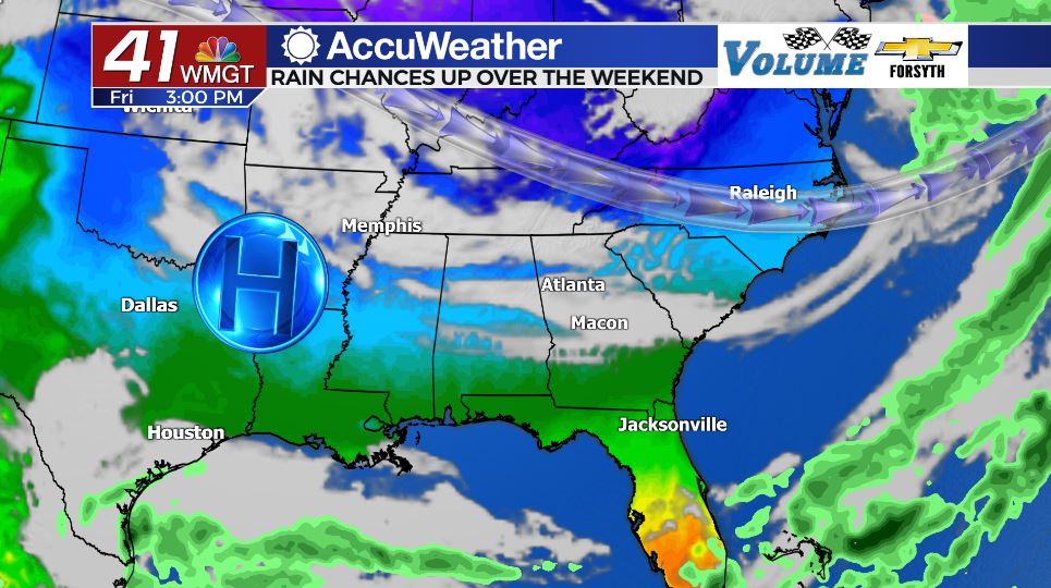
After a cold start warmer conditions will return in the afternoon. The wind will shift to the east during the day at about 10-15 mph. Highs will reach the mid to upper 50s around the region with a couple of spots potentially cracking 60 degrees. Cloud cover will begin to increase during the afternoon as a warm front prepares to pass through the state on Sunday.


Overnight cloud cover will increase further as the wind shifts more to the southeast. Lows will fall into the upper 30s and lower 40s, jumping around 10 degrees from Friday night/Saturday morning.
Sunday
Cloud cover will be abundant throughout the day on Sunday. Despite this highs will reach the upper 60s and lower 70s, jumping more than 10 degrees from Saturday afternoon. This is largely going to be driven by a warm front that will have winds blowing from the south at 10-15 mph with gusts upwards of 25 mph. Showers will begin to fire up during the later afternoon hours ahead of another cold front.
Overnight the cold front will move through, however unlike the most recent one it will not be over in a flash. No severe weather is expected due to cooler conditions, however widespread rain is expected and several locations could be looking at an inch or more during the overnight hours of Sunday into Monday. Low temperatures will remain warm, only falling into the upper 40s/lower 50s thanks to winds from the southwest and an abundance of overnight cloud cover.
Next Week
Cloud cover from Sunday night is likely to linger into Monday until about lunchtime. Some showers will also be possible early as they hang around from Sunday night as well. Temperatures on Monday in the afternoon will be mild as highs reach the upper 50s and lower 60s. Rapid cooling will occur overnight as the clear skies and northerly winds return, dropping lows below freezing.
Tuesday will see sunny skies and high temperatures colder than today as winds remain out of the north. Lows overnight could fall into the mid 20s heading into Wednesday morning in some locations.
Rain is unlikely next week until Friday with sunshine and cool conditions dominating the forecast.

Follow Meteorologist Aaron Lowery on Facebook (Aaron Lowery 41NBC) and Twitter (@ALowWX) for weather updates throughout the day. Also, you can watch his forecasts Monday through Friday on 41NBC News at Daybreak (6-7 a.m.) and 41Today (11 a.m).

Leave a Reply