Cooler and drier conditions return Wednesday
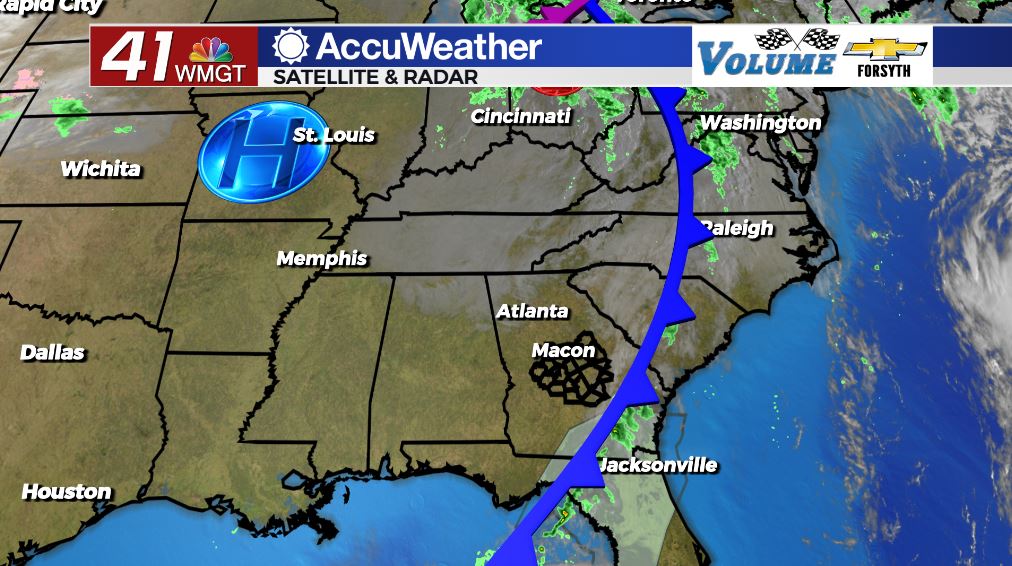
MACON, Georgia (41NBC/WMGT) – Sunshine will return to Middle Georgia with cooler and drier conditions in the wake of last night’s cold front.
Today


There were a few showers left around Middle Georgia this morning from the cold front that moved through overnight, however by the time the sunrise arrived they were gone. The clouds have been clearing through the morning hours and should be about gone by the lunchtime hours. It will be a cooler afternoon today as a result of the cold front; highs will reach the 70s around the region with the northwest counties seeing lower 70s and the southeast counties seeing upper 70s. It will also be rather breezy as the wind blows in from the northwest with speeds of 6-13 mph. Gusts could reach speeds of up to 20 mph.


Skies will remain clear tonight as temperatures cool. We will see temperatures cooler than our lows this morning not long after sunset tonight. The wind will persist from the north-northwest tonight at 5-10 mph, however gusts could still reach upwards of 15 mph. Lows will only drop into the mid and upper 40s by tomorrow morning, and that is as cold as we should see them this week.
Tomorrow


Thursday will be a lovely day across Middle Georgia. Highs will again reach the mid 70s around the region under clear skies. It will also again be breezy, however the wind will blow from the northeast at 5-11 mph instead of the northwest. Gusts could once again reach speeds of up to 20 mph.


We will likely see a few clouds move in tomorrow night, however there should not be too many of them. The wind will blow from the east-northeast at 5-10 mph with gusts reaching upwards of 15 mph. Lows will be in the lower 50s around the region as cloud cover thickens a bit ahead of the sunrise Friday.
Friday and the Weekend


Cloud cover will populate a fair portion of the Middle Georgia sky on Friday. Highs will again be in the mid 70s around the region with the east-northeast wind coming in at 7-13 mph (gusts 20 mph). That cloud cover will only thicken more during the overnight hours leading up to Saturday morning. Lows will creep into the mid 50s ahead of Saturday’s sunrise.


Saturday and Sunday will both be cloudy days, however as of now only Sunday looks to be rainy. We could see a couple showers overnight Saturday leading into Sunday, but the bulk of the rain with the next system looks to move through Sunday evening and night. A few showers may linger into the morning of Halloween, but the rain should be gone well before Trick-or-Treat festivities begin. A good bit of cloud cover, however, looks to hang around through the day and into the night on Halloween.

Follow Meteorologist Aaron Lowery on Facebook (Aaron Lowery 41NBC) and Twitter (@ALowWX) for weather updates throughout the day. Also, you can watch his forecasts Monday through Friday on 41NBC News at Daybreak (6-7 a.m.) and 41Today (11 a.m).