Cloudy skies and light showers likely Tuesday
MACON, Georgia (41NBC/WMGT) – Overall gloomy conditions will continue to hang around Middle Georgia today.
Today


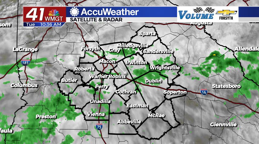
We had some scattered light showers move through Middle Georgia this morning. We are continuing to see more of them as we head into the lunchtime hours, however thunderstorm activity should hold off until later in the afternoon and evening. Once again the early rain and thick blanket of clouds are keeping temperatures cool, limiting highs to the low to mid 80s. Ambient winds from the west-northwest are also transporting slightly cooler air into the region.


We will likely see a few scattered thunderstorms/showers later this afternoon, but it will largely be overcast and mild. Conditions will remain cloudy into the overnight hours. Rain activity should be limited during the early overnight hours, however some showers are likely to fire up in parts of the region during the early morning hours of Wednesday ahead of the sunrise. Lows will be in the lower 70s (with a one or two potential upper 60s) and ambient winds will blow from the west-southwest at about 5 mph.
Tomorrow


Wednesday will be a near carbon copy of Tuesday during the daylight hours. A few scattered showers will begin the morning in Middle Georgia, clearing out ahead of lunchtime. The afternoon will see overcast conditions with only a couple of stray showers and storms. Highs will reach the low to mid 80s and ambient winds will blow from the west-southwest at about 5 mph.


Tomorrow night, however, things could potentially differ. Model runs are conflicted on what will happen after midnight Wednesday and into Thursday morning. Heavy rain that will have been plaguing Mississippi and Alabama could make its way into Middle Georgia early Thursday morning, leading to widespread wet weather out the door. However, that rain could also peter out just before it gets into Middle Georgia, resulting in a couple of small showers ahead of Thursday’s sunrise and that’s it. The more widespread our showers are tomorrow morning, however, the more widespread they are likely to be rolling into Thursday as well. Regardless, it will be cloudy with lows in the lower 70s and upper 60s.
Thursday and Beyond


Cloudy conditions will stick around Thursday following another morning with scattered light rain activity. Highs will again be kept cool in the low to mid 80s. Rain chances will remain high through Friday as well while the stationary front maintains its grip on the southeastern US. We should see some sunshine make a return over the weekend.

The tropics are beginning to wake up a bit more as we near the end of August. The NHC is watching two disturbances off of the west coast of Africa. At this time neither one is expected to form into an organized cyclone within the next 48 hours, and there is only a 20% chance for development over the next 5 days.

Follow Meteorologist Aaron Lowery on Facebook (Aaron Lowery 41NBC) and Twitter (@ALowWX) for weather updates throughout the day. Also, you can watch his forecasts Monday through Friday on 41NBC News at Daybreak (6-7 a.m.) and 41Today (11 a.m).