


Cloudy and wet conditions to bring cooler temps Monday afternoon

MACON, Georgia (41NBC/WMGT) – Temperatures will only climb into the low to mid 80s this afternoon thanks to off and on storms.
Today
Off and on storms are likely around Middle Georgia through the afternoon today. The southern counties will likely see the rain hang around a little longer than their normal counterparts. Severe weather is not expected, however storms will still have lightning and thunder along with light to moderate rainfall. Mostly cloudy conditions will keep temperatures in the low to mid 80s this afternoon with feels like temperatures in the upper 80s and lower 90s. Ambient winds will largely come from the west-northwest at about 5-15 mph. Gusts could reach as high as 20 mph.


Tonight skies will be mostly clear as temperatures drop into the upper 60s and lower 70s for the first time in several days. Winds will be calm as well, so some fog will be possible heading into Tuesday morning.
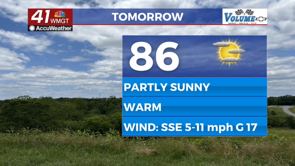
Tomorrow and Beyond
Partly sunny skies are likely Tuesday afternoon along with a couple of isolated storms. Winds will be light and variable as temperatures climb back up into the 90s around Middle Georgia. Heat indexes will likely be in the upper 90s and low triple digits. Tomorrow night will be partly cloudy with lows mainly in the lower 70s.
Wednesday will be the driest day of the week as rain chances will nearly be negligible. Skies will be mostly sunny with highs in the mid to upper 90s. Storm odds in the afternoon and evening will begin to increase again come Thursday as the summer heat increases heading into the weekend.

Follow Meteorologist Aaron Lowery on Facebook (Aaron Lowery 41NBC) and Twitter (@ALowWX) for weather updates throughout the day. Also, you can watch his forecasts Monday through Friday on 41NBC News at Daybreak (5-7 a.m.) and 41Today (11 a.m).