


Beautiful weather expected all day Thursday
MACON, Georgia (41NBC/WMGT) – High pressure is keeping sunny and warm conditions over the Peach State throughout the day Thursday.
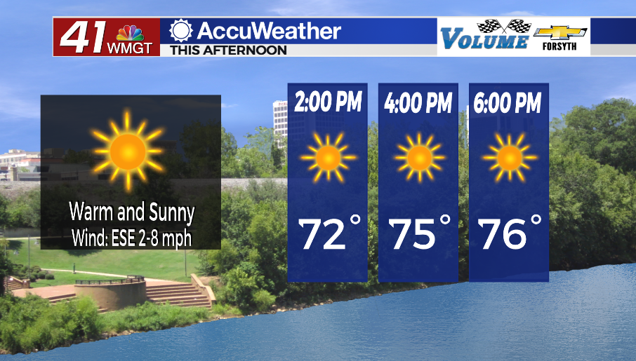
Today
It is sunny around the entire Peach State. Temperatures in Middle Georgia will climb into the mid to upper 70s. Winds will blow out of the east-southeast at around 5 mph. Humidity values will likely remain under 40% as well, so the air shouldn’t feel sticky. The UV index for most of Middle Georgia today will hover around 9, so anyone planning to enjoy the pleasant weather should wear some sunscreen.


Tonight skies will remain clear for the most part, however some cirrus clouds may pass through the region. Due to low temperatures and dew points in the upper 40s and lower 50s some early morning low level cloud cover will also be possible. However, winds from the southeast at 5-10 mph may be too much for fog in many spots.
Tomorrow
Early on some low level cloud cover is likely due to rising humidity, however it will clear out during the later morning hours as temperatures rise. Scattered clouds will be likely in the afternoon with more added cloud cover holding off until overnight. Winds will continue to pick up, now blowing from the south to south-southwest at 7-15 mph. Gusts could reach as high as 20-25 mph. Highs will reach the lower 80s across the region during the late afternoon-early evening hours.


Cloud cover is expected to thicken overnight, especially after midnight. Winds will remain strong out of the south-southwest with gusts pushing upwards of 30 mph. Low temperatures will be in the mid to upper 60s rolling into Saturday morning along with dew points, setting the stage for thunderstorms later in the day.
The Weekend
It was initially thought that storms would begin to roll into Middle Georgia during the sunrise hours Saturday morning, however the trend now seems to take them into the region around lunchtime. The front bringing the storms will likely be weakening as the central low pressure continues to push northeast while occluding (cutting itself off from inflow). This should help to mitigate an overall severe threat for the region. Cloudier conditions early could also help to limit the threat. As of now, the SPC has issued a Level 1 “Marginal” risk for the southeastern 2/3 of Middle Georgia. Threats will likely include a few strong wind gusts or small hail, however a brief tornado will not be impossible. Plenty of heat (highs in the lower 80s), humidity (dew points mid to upper 60s) and some wind shear will be present to help storms intensify, however being as far south of the central low pressure we are will take a lot of the dynamics out of the equation. Storms should clear during the evening.

Sunday will be similar to Wednesday as a number of cirrus clouds populate the sky but allow some sun to get through. Temperatures will drop back into the 70s following Saturday’s cold front.

Follow Meteorologist Aaron Lowery on Facebook (Aaron Lowery 41NBC) and Twitter (@ALowWX) for weather updates throughout the day. Also, you can watch his forecasts Monday through Friday on 41NBC News at Daybreak (5-7 a.m.) and 41Today (11 a.m).


