


Another round of scattered storms likely Tuesday

MACON, Georgia (41NBC/WMGT) – Middle Georgia will see more scattered storms this evening and overnight.
Today
Following a muggy and cloudy start to the day Middle Georgia will see mostly cloudy conditions rolling into the afternoon. Temperatures will peak in the low to mid 80s across most of the region with variable winds around 5 mph. During the middle of the afternoon some sun is likely in parts of the region. Storms will likely start to fire up in the late afternoon and last through the evening. Unlike yesterday, however, severe weather is not expected this time around, and storms are not likely to cut off as the sun sets.


Storms will linger well past midnight with a few sticking around into Wednesday morning. Rain that does last into the next morning, however, should be light. Overcast conditions are expected overnight to accompany the wet conditions. Overnight lows will bottom out in the upper 60s around the region. Winds will be light and variable.
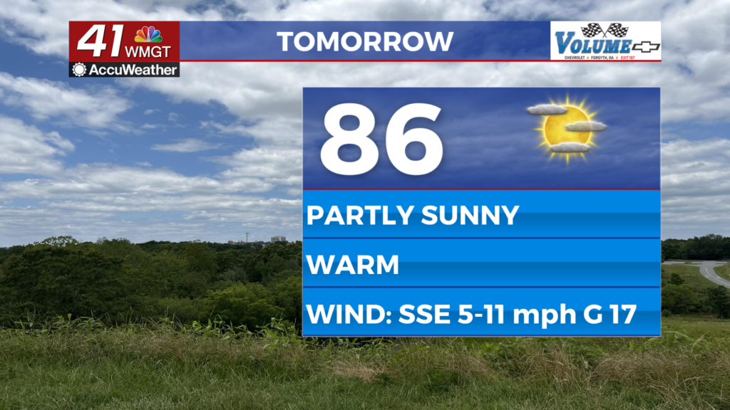
Tomorrow and Beyond
Wednesday is anticipated to be the wettest day of the week with widespread thunderstorm activity expected throughout the day. Temperatures will only reach into the lower 80s with light and variable ambient winds. Storm activity will likely persist through the overnight hours and into the early parts of Thursday. Winds overnight will largely come from the east-southeast at about 5-10 mph with low temperatures in the upper 60s.

Thursday will also be a wet day with another round of widespread thunderstorm activity on deck. Flash flooding concerns will increase each day as rain totals continue to add up, especially in hard hit and low-lying areas. Sunnier weather looks to return over the weekend.

Follow Meteorologist Aaron Lowery on Facebook (Aaron Lowery 41NBC) and Twitter (@ALowWX) for weather updates throughout the day. Also, you can watch his forecasts Monday through Friday on 41NBC News at Daybreak (5-7 a.m.) and 41Today (11 a.m).