
Another hot day, showers & storms bring some relief
MACON, Georgia (41NBC/WMGT) – Strong upper level ridging continues across the area keeping the heat in place. This ridging will begin to weaken in the coming days bringing temperatures 

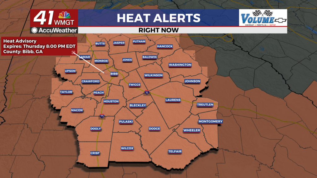
 down slightly. Afternoon heat indices could top out between 105 and 110 through Thursday, especially in east-Middle Georgia. The heat advisory has been extended for all of central and much of north Georgia through Thursday afternoon. Afternoon thunderstorm potential may alleviate some of the heat, however, there is high uncertainty in exactly when this will occur and how long. Afternoon thunderstorms will be possible each afternoon. The greatest chances today will be between 4 PM and 12 AM, although some precipitation could be possible between 2 PM and 2 AM. Early thunderstorm area will most likely be in Middle Georgia while later (overnight) thunderstorms are likely along the I-85 corridor. No widespread or organized severe is expected today or tomorrow. By Thursday, the weak frontal boundary that moved in will still be draped across the area keeping precipitation chances elevated. This front will also act as a catalyst for some isolated strong to severe storms Thursday afternoon. Heat will continue to be a concern through the end of the week but we will begin to see afternoon highs lower beginning Thursday.