Dry and blustery weather kicks off the month of May
MACON, Georgia (41NBC/WMGT) – Strong winds and low humidity are taking over the Peach State following a weekend cold front.
Today


A few scattered clouds will hang around the region until lunchtime. After that, clear skies will stick with Middle Georgia the rest of the way today. Temperatures will peak in the low to mid 70s around the region, about 10 degrees below the norm for the start of May. The UV index this afternoon is 8.3 in Macon, so sunscreen will be necessary for anyone planning to enjoy the pleasant (but windy) conditions.


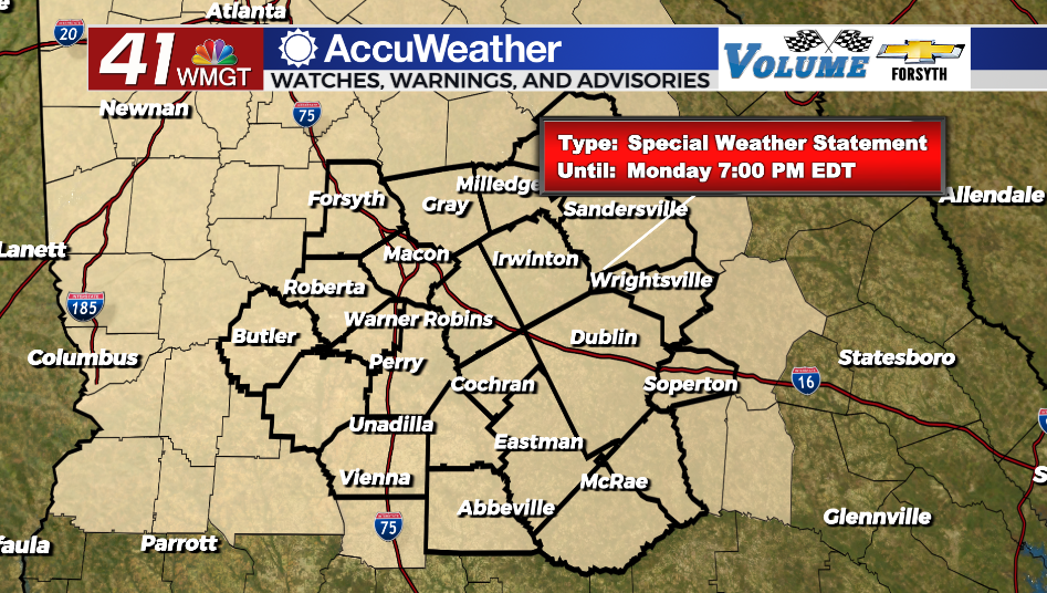
It will be a dry and blustery afternoon thanks to the jet stream being overhead for the region to kick of the new week. The National Weather Service in Peachtree City has issued a Special Weather Statement for High Fire Danger until 7:00 PM this evening for all of Middle Georgia. Winds will blow out of the west and west-northwest this afternoon with sustained speeds ranging from 10-20 mph and gusts upwards of 30 mph. Relative humidity, meanwhile, will hang between 25-30% around the region. These conditions would be favorable for fires to spread should any get out of control.


Tonight skies will remain clear as the winds back off to about 10-15 mph. Gusts, however, could still push close to 20+ mph heading into tomorrow morning. Temperatures are anticipated to drop into the mid to upper 40s around the region, however wind chills could be in the lower 40s out the door tomorrow morning.
Tomorrow


It will be another sunny and blustery day for our Tuesday while the same pattern remains overhead. Winds will largely blow from the west-northwest at about 10-17 mph with gusts pushing 25-30 mph. Temperatures will peak in the mid 70s for most of Middle Georgia.


Tomorrow night a couple of clouds are expected to pass through the region, but aside from that skies will remain clear. Winds will blow out of the west-northwest at about 5-12 mph (gusting 17) with low temperatures largely in the upper 40s.
Wednesday and Beyond

The winds should calm a bit more on Wednesday as they shift to the northwest with the jet stream retreating further north. The sunny skies will stay with Middle Georgia until Friday when thicker cloud cover is expected to move in. Rain chances will return a bit over the weekend along with temperatures in the lower 80s, however at this time the precipitation outlook for the weekend remains rather low.

Follow Meteorologist Aaron Lowery on Facebook (Aaron Lowery 41NBC) and Twitter (@ALowWX) for weather updates throughout the day. Also, you can watch his forecasts Monday through Friday on 41NBC News at Daybreak (5-7 a.m.) and 41Today (11 a.m).