




Cloud cover and wind dominate as rain odds remain limited
MACON, Georgia (41NBC/WMGT) – Rain odds didn’t pan out as expected around Middle Georgia today and likely will remain low into the weekend while cloud cover and wind remain abundant.
This Evening
It’s been a mostly cloudy day across Middle Georgia and once again things have been rather windy. However the scattered showers that were anticipated throughout the day never really came to fruition. It will be a mild night with low temperatures likely in the mid to upper 50s around the region. The wind will remain out of the northeast at 7-12 mph with gusts still reaching upwards of 20 mph.
Tomorrow
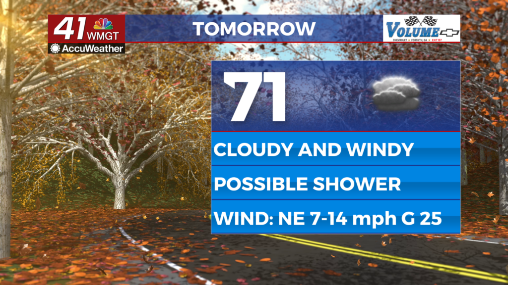
The clouds will stick around for the final day of the work week as the wind remains strong from the northeast. Highs should reach the upper 60s and lower 70s and while not much rain is anticipated a stray shower or two will be possible.


Overnight will be cloudy with temperatures again reaching their valleys in the mid 50s leading into Saturday morning. The wind will still be rather breezy as sustained speeds range from 7-13 mph with gusts to 20 mph.
This Weekend
Cloud cover will likely be dominant for most of the weekend with some showers possible on Saturday for the eastern third of Middle Georgia. This will depend on how close the track of the low pressure lurking off the east coast of Florida comes to the coastline of GA. This low does have the potential to develop into something tropical. As of now the NHC has designated it with a 60% odds for development into a depression within the next 7 days. A partly sunny day is likely Sunday with high temperatures reaching into the low to mid 70s across the region.

Follow Chief Meteorologist Aaron Lowery on Facebook (Aaron Lowery 41NBC) and X (@ALowWX) for weather updates throughout the day. Also, you can watch his forecasts Monday through Friday on 41NBC News at 4, 5, 5:30, 6, and 11 p.m.

