Wind and cloud cover are up after a chilly weekend
MACON, Georgia (41NBC/WMGT) – Temperatures will remain below average into the new week as strong winds from the northeast become the norm throughout the week.
This Evening


A mostly cloudy and chilly evening will become a partly cloudy and cold night as temperatures drop into the mid to upper 30s by Tuesday morning. The wind will flow from the northeast at around 5-11 mph with gusts potentially reaching as high as 18 mph. Any clouds that remain should be upper level cirrus.
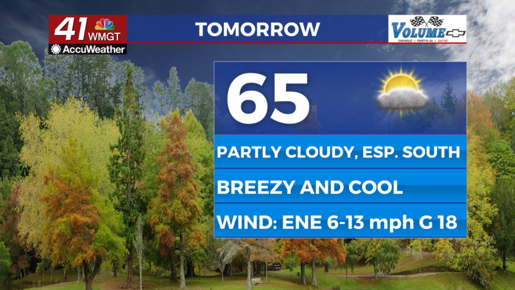
Tomorrow


Middle Georgia will likely see a bit of a split forecast on Tuesday with the northern half of the region seeing more sunshine and the southern half more clouds. A stray rain shower or two will also be possible in the southern counties as well. Temperatures should reach the mid-upper 60s in the northern counties and moreso the lower 60s in the southern counties. The wind will continue out of the northeast at around 7-14 mph. Gusts should reach as high as 20 mph.


Overnight will be partly cloudy-mostly clear across the region with more clouds again lingering over the southern half of Middle Georgia. Temperatures will valley in the low to mid 40s around the region, or near/just above seasonal averages.
Wednesday and Beyond


Wednesday will likely be the last day this work week with a decent amount of sun before cloudy skies take over for the end of the week. The wind will gradually get stronger out of the northeast through the back half of the week as well with the odds for rain showers climbing starting on Thursday. Widespread rain could be possible into the weekend.

Follow Chief Meteorologist Aaron Lowery on Facebook (Aaron Lowery 41NBC) and X (@ALowWX) for weather updates throughout the day. Also, you can watch his forecasts Monday through Friday on 41NBC News at 4, 5, 5:30, 6, and 11 p.m.