Above average temperatures continue Tuesday afternoon as more clouds arrive
MACON, Georgia (41NBC/WMGT) – It will be another pleasant day Tuesday afternoon across Middle Georgia.
This Evening


A mostly sunny afternoon will become a mostly clear and chilly night as a light wind from the northwest continues around 5 mph. Temperatures should mostly valley in the low-mid 40s however the coldest locations cracking into the upper 30s cannot be ruled out.
Tomorrow


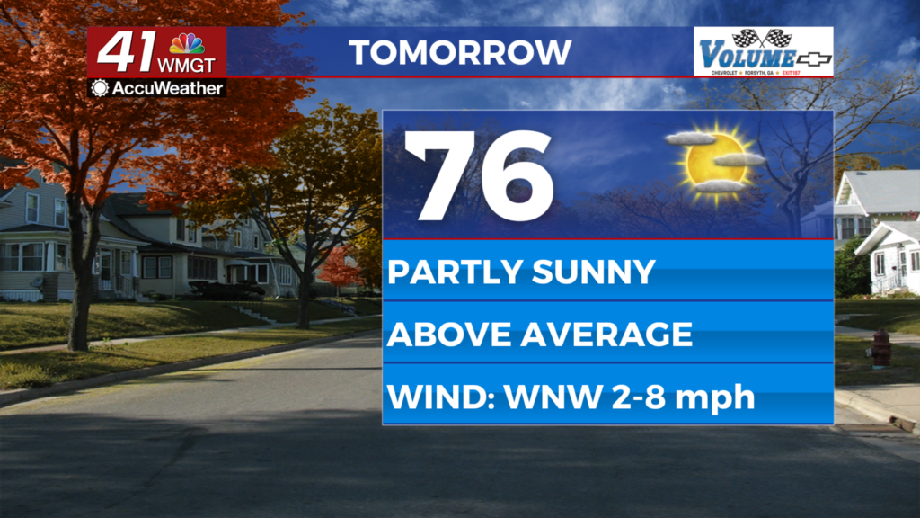
A few more clouds are likely overhead throughout the day tomorrow but overall things will still trend sunny. Highs should be in the mid to upper 70s once again accompanied by light wind out of the west-northwest around 5 mph. While the odds are rather low a stray shower cannot be ruled out completely.


Overnight even more clouds are expected and a shower or two will be possible. The wind will be light out of the northwest around 5 mph. Expect low temperatures in the mid to upper 40s around the region.
Wednesday and Beyond


Wednesday will likely be the cloudiest day of the week as well as the muggiest. Temperatures should peak in the mid to upper 70s once again accompanied by wind from the west-southwest at 5-12 mph. Gusts could push as high as 20 mph. About 1/3 of the region or so should see some light rain.

A cold front will follow the showers on Wednesday leading to a wind shift to out of the northwest. The new wind will be rather strong and chilly as gusts upwards of 30 mph will be possible Thursday afternoon. It will be cold this weekend as overnight lows may flirt with the freezing point in some Middle Georgia locations!

Follow Chief Meteorologist Aaron Lowery on Facebook (Aaron Lowery 41NBC) and X (@ALowWX) for weather updates throughout the day. Also, you can watch his forecasts Monday through Friday on 41NBC News at 4, 5, 5:30, 6, and 11 p.m.