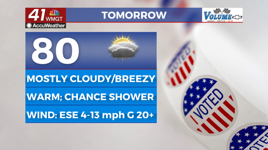

Dry and warm conditions for Election Day
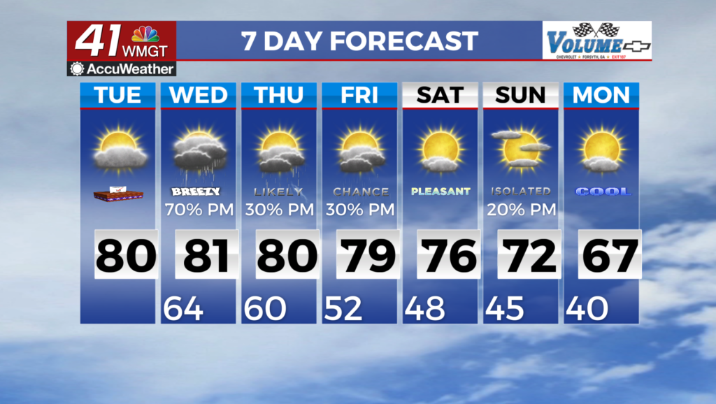
MACON, Georgia (41NBC/WMGT) – Mainly dry conditions persist for today, although things will begin to change for the wetter Tuesday night. Through tomorrow, a Cold Air Damming wedge will


remain fairly dominant, though the source high will slide eastward off the Atlantic coastline of the Northeast. Meanwhile, the flow in the upper levels will transition into southwest flow through the day ahead of a longwave trough swinging from the Plains into the Mississippi Valley by Tuesday evening. The initial effect will be a continued increase in cloud cover through Tuesday as moisture gradually increases ahead of this system. Easterly winds will also remain breezy through the day and into Tuesday night given the increasing gradient ahead of the incoming storm system. Conditions will remain dry for the most part until late Tuesday night/early Wednesday morning as scattered showers begin to encroach into West and Northwest Georgia. The bulk of the 


rain will hold off until Wednesday, however, as the front pushes towards the state. Temperatures will remain above normal. Overnight lows will be some 10-15 degrees above normal amid increased clouds and moisture while Tuesday’s highs will notch a bit higher than yesterday, into the mid 70s to low 80s. The extended period begins Wednesday morning as the developing frontal boundary to our west begins pushing rain into Northwest Georgia. By Wednesday morning the frontal boundary is expected to be just to our west across Alabama, but rain ahead of it will begin to push into Northwest Georgia just before daybreak Wednesday. As this front pushes into the region, it has to breakdown the high pressure ridge/wedge that is already in place across the area. This ridge does a great job of slowing the Southeasterly progression of the frontal boundary which keeps precipitation chances elevated from midday Wednesday to midday Thursday across the state. The better instability and dynamics with this system stay north of the state along the front as it moves east through the Mid-Atlantic states. Widespread severe weather is not expected. This front moves down into Southeast Georgia by Thursday evening with another weaker/drier cold front expected to push into Northwest Georgia Friday evening. That will clear things out for Saturday.