
Temperatures remain hot through Friday, then Fall returns
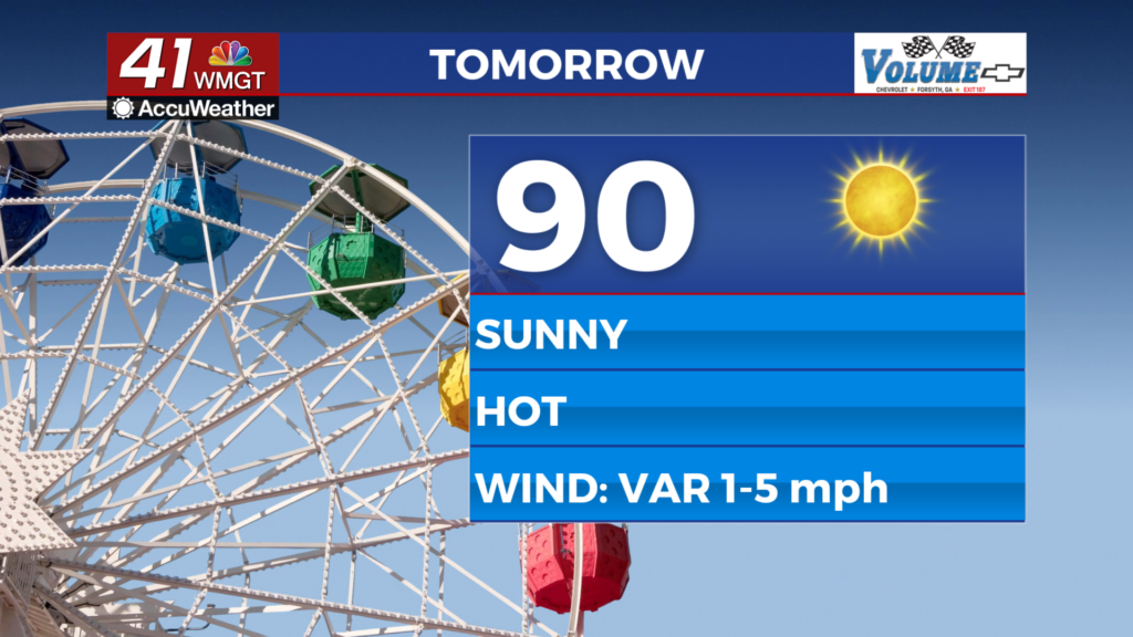
MACON, Georgia (41NBC/WMGT) – Another beautiful late Summer day is expected, with an almost identical copy tomorrow. Temperatures will rise into the upper 80s by early afternoon, 


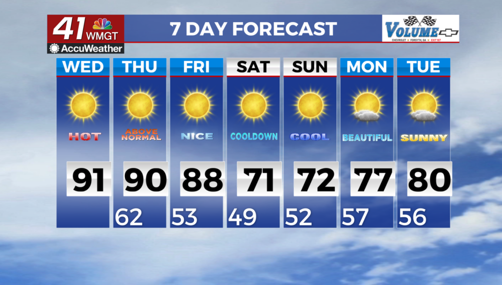
with northwest winds keeping the humidity down. Temps fall into the low 60s tonight before a nearly identical high temperature for Thursday. With high pressure settled over the area, winds will be on the light side at less than 5 mph. Expect patchy fog to burn off by 10 AM. The main theme of the extended forecast will be a big swing in temperatures amid continued dry weather. Record-breaking warmth will come to a rapid end behind a strong cold front that will sweep through the area beginning Friday. While Friday will still bring well-above normal 

highs for most of the area, the strong front will usher in a much cooler airmass from north to south by late Friday, as gusty northwest winds increase. The overall temperature swing from Friday night into Saturday morning will be quite noticeable, from highs in the 80s for most on Friday to the 40s and 50s by Saturday morning! Given very little frontal moisture, little if any rainfall is expected, although an isolated shower or sprinkle can’t be ruled out in North Georgia on Friday. The weekend brings the first bona-fide Fall-like temperatures of the season. After low in the 40s and 50s Saturday morning, highs will remain in the 60s and low 70s. Sunday looks to bring the chilliest morning with widespread 40s across the area and even a few upper 30s possible in the mountains. A warming trend will then be underway by early next week as the surface high slides east into the west Atlantic and mid-level ridging returns.