The heat comes right back Friday
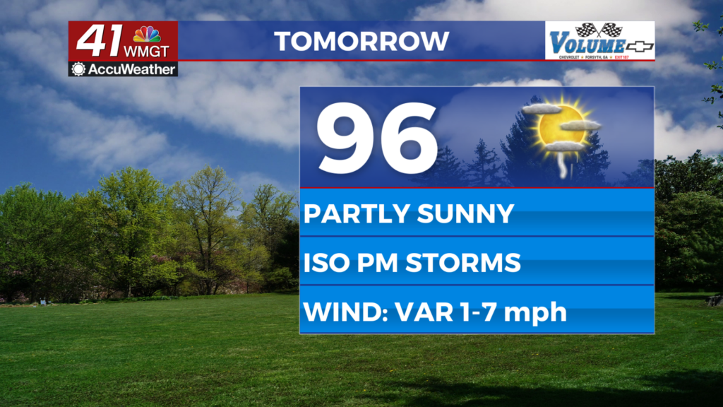
MACON, Georgia (41NBC/WMGT) – After a couple days of lower humidity and heat temperatures will return to the mid-upper 90s Friday afternoon.
This Evening


A sunny afternoon will become a clear and seasonal night as temperatures are expected to valley in the mid 60s across the region. A couple of clouds may arrive by sunrise Friday morning. The wind will shift from the southeast to the southwest throughout the night around 5 mph.
Tomorrow


Despite a seasonal start to the day conditions will be well above average in the afternoon. Scattered cumulus clouds are expected to fill in through the lunchtime hours with highs expected in the mid to upper 90s. The wind will be light and variable throughout the day. A couple of showers or a storm will be possible in the evening, however most of Middle Georgia will stay dry.


Overnight will be partly cloudy and a few showers or a storm will be possible until around midnight-1 am. Temperatures will be back above average with lows likely to hover around 70 degrees. A bit of fog is also possible heading into Saturday morning. Ambient wind will be light and variable.
This Weekend and Beyond


The rain chances will climb more Saturday as most of Middle Georgia should see a shower or a storm through the afternoon and evening. Before rain begins expect temperatures to reach into the low to mid 90s with real feels back to pushing 100 degrees. More cloud cover is likely Sunday however rain odds are expected to be a decent bit lower as well. Temperatures will remain above average both in the afternoon and overnight through a good chunk of next week as well.

Follow Chief Meteorologist Aaron Lowery on Facebook (Aaron Lowery 41NBC) and X (@ALowWX) for weather updates throughout the day. Also, you can watch his forecasts Monday through Friday on 41NBC News at 4, 5, 5:30, 6, and 11 p.m.