Increased chances for showers & storms return to Middle Georgia
MACON, Georgia (41NBC/WMGT) – We can expect an initial surge of a system through the Northeast by early morning Thursday combined with an approaching shortwave lagging behind the 


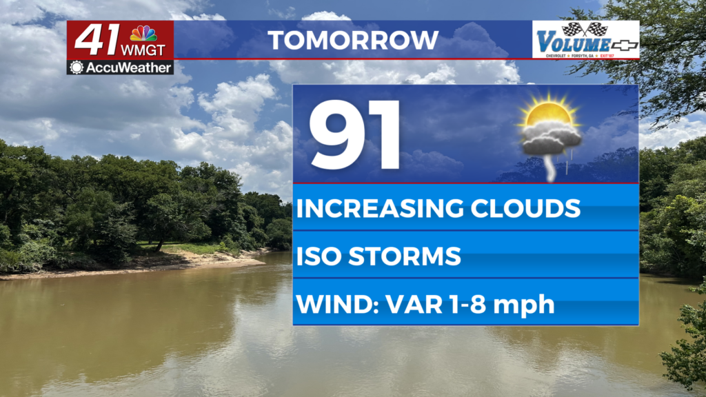
deeper trough that will bring surface flow to the region around to the southwest Thursday. This will be the beginning of some deeper moisture return into the coverage area and some isolated showers and thunderstorms will be possible across mainly Middle Georgia. With the return of the moisture comes the return of the higher heat index values. Highs in the 90s combined with dewpoints returning to the low to mid 70s will bring triple digit heat index values back once again. Get the lawn mowed this evening if you can! It will be cooler than later. As the long term begins, 


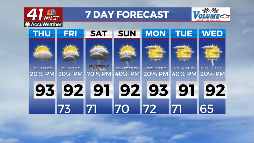
the region is positioned between a developing cut-off low over the Ozarks and a shifting Bermuda High off the eastern seaboard. This will set up a southerly flow over the region and feed ample Gulf moisture into the region through the period. As a result, we will see an increase of scattered to numerous thunderstorms by Friday afternoon into the weekend. Additionally, moisture values increase precipitously on Friday, with values spiking up to 2.25 inches favoring heavy rainfall rates with more organized storms during the afternoon. As a result, the northern and western potions 
of the area are in a marginal risk for excessive rainfall. With the increase of rain chances, it is worth noting that nearly 80% of the state is at least abnormally dry, so many locations will benefit from the additional rainfall. Other than that, with a saturated column and lack of shear, the risk of severe weather is low outside of the few strong storms and gusty winds as the primary threat. With a warmer fetch of Gulf air and moisture, we can expect a general increase in daily temperatures into early next week. Expect temperatures to climb into the upper 80s to low 90s outside of the mountain counties. One limiting aspect, will be more expansive cloud cover that could keep high temperatures down a couple degrees, but temperatures will still be generally above average through the period. Heat index values will again be up near the triple-digit mark over the central and eastern counties through the weekend, but remaining just below Heat Advisory Criteria.