


Another day of triple digit heat indices bake Middle Georgia
MACON, Georgia (41NBC/WMGT) – The continued presence of high pressure will keep things toasty in the short term for North and Middle Georgia. High pressure starts to break down today 


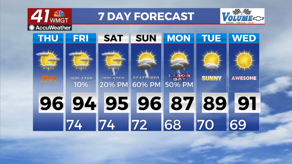
which will lend to a little bit better chance for stray afternoon shower or thunderstorm across the southern tier and at higher elevations in the northeast. In the meantime, any convective activity this afternoon will be much more limited. The main story is the heat. Temperatures are expected to rise to the mid to upper 90s this afternoon for many. Additionally, dewpoints in the upper 60s to low 70s have resulted in triple digit heat indices. While we will see the mid-level ridge begin to break down headed into Thursday, the environment on a whole will be largely unchanged. 


Therefore, the Heat Advisory for northwest Georgia, remains in effect through Thursday evening. A ridge remains in place over the southeastern U.S. Friday and into the beginning of the weekend. This ridge has kept things mostly dry but precipitation chances begin to increase Friday afternoon as the ridge begins to weaken. The models are showing a significant band of moisture associated with a weak frontal boundary moving northward out of the Gulf and northern Florida Friday. With the ridge in place across north Georgia this boundary stalls across south Georgia due to its proximity. With the ridge weakening as we go further into the weekend a backdoor cold front moves southwest out of the Carolinas and into Northeast Georgia Sunday afternoon. This front is fairly weak and loses a lot of its strength as it pushes into the old weakening ridge. Slightly cooler air is expected behind the frontal boundary on Monday, as a ridge of high pressure centered over Hudson Bay sinks southward. There still remains the potential for diurnal convection, Monday into Tuesday with isolated to scattered afternoon/evening thunderstorms.