

Sunshine and heat roll on Thursday
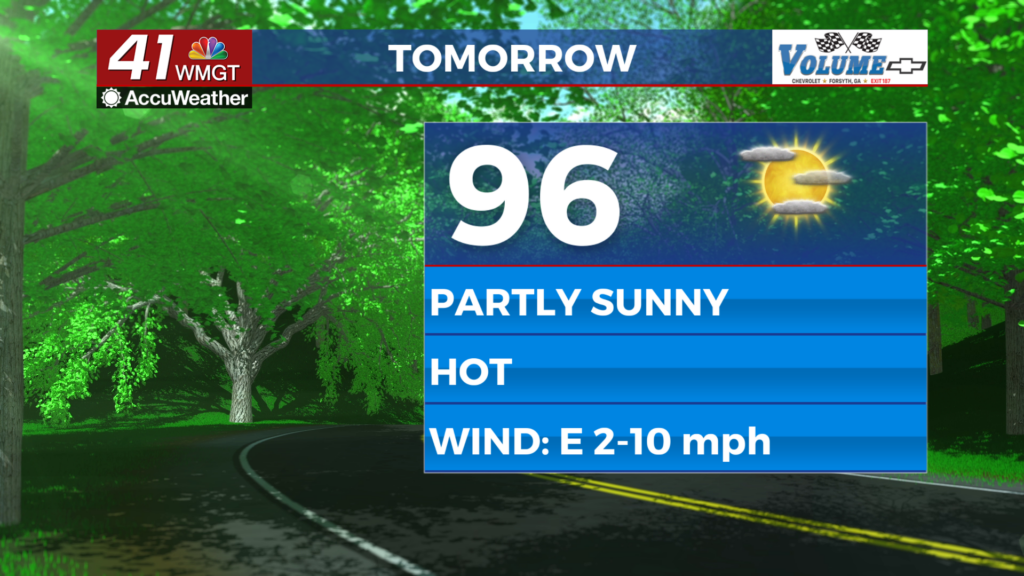
MACON, Georgia (41NBC/WMGT) – Temperatures will push into the mid-upper 90s with heat indexes over 100 degrees again Thursday afternoon.
This Evening
A partly sunny afternoon will become a mostly clear and warm night as temperatures only drop into the low to mid 70s, or around 4 degrees above average this time of year. A couple of stray showers or perhaps a storm are possible however most of the region will stay dry. The wind will shift from the east-northeast to the southeast overnight around 5 mph.
Tomorrow
Thursday will be almost a carbon copy of Wednesday with perhaps a few more clouds in the afternoon. The rain odds will remain low as temperatures reach the mid to upper 90s real feels over 100. Some parts of Middle Georgia could end up under a Heat Advisory. The wind will flow out of the east at 5-10 mph. A couple of showers and/or a storm will be possible over the latter half of the day.


Overnight will be mostly clear and warm with lows again expected in the low to mid 70s. The wind will be light out of the southeast around 5 mph.
Friday and Beyond
The heat will carry into the weekend under partly sunny skies as the odds for rain on Saturday are now dropping. As of now a spike in rain chances is expected Sunday evening and into Labor Day on Monday. This will lead to a bit of a cooldown into next week.

Follow Chief Meteorologist Aaron Lowery on Facebook (Aaron Lowery 41NBC) and X (@ALowWX) for weather updates throughout the day. Also, you can watch his forecasts Monday through Friday on 41NBC News at 4, 5, 5:30, 6, and 11 p.m.