






Storm chances remain elevated Wednesday
MACON, Georgia (41NBC/WMGT) – As temperatures continue to heat up scattered storms in the afternoon will help some cool off.
This Evening
Several storms are ongoing around Middle Georgia with more expected through the evening and into early tonight. The entire region is in a Level 1 “Marginal” threat for severe storms with the main hazard being some damaging wind gusts. Frequent cloud to ground lightning is also likely with the most intense storms. Overnight some rain will linger early before activity tapers off after midnight. Fog is possible heading into the start of Wednesday with low temperatures expected in the low to mid 70s around Middle Georgia. The wind will flow from the west around 5-10 mph.
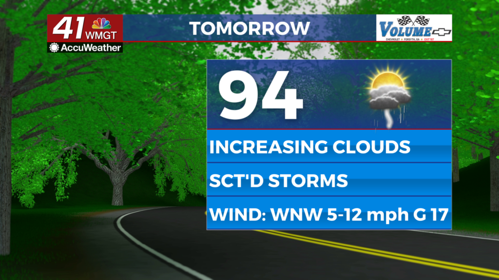
Tomorrow
Another hot afternoon is likely Wednesday as temperatures reach the mid to upper 90s under partly cloudy skies. Scattered storms are likely to begin in the late afternoon, continuing through the evening hours. As of now the far northeastern reaches of Middle Georgia are under a Level 1 “Marginal” threat for severe storms. The risk will be a couple of damaging wind gusts. Ambient wind will flow from the west-northwest at 5-12 mph with gusts reaching as high as 20 mph.


Overnight will be partly cloudy with a couple of showers or a storm lingering early. Temperatures will valley in the low to mid 70s accompanied by light wind from the west. More fog will be possible again thanks to the wet conditions in the evening.
Thursday and Beyond
The heat will continue to climb to finish the work week with some locations flirting with triple digit highs. Expect parts of Middle Georgia to be under a Heat Advisory if not the whole region by the time the weekend arrives. Storm odds will still be there for close to half the region each afternoon.
Watching the Tropics
Two disturbances are currently being followed by the National Hurricane Center: the first is not of concern with 10% odds to become a tropical depression in the next 7 days. It will move further east out to sea. The other area is of greater concern with 70% odds to become a tropical depression in the next 7 days and 40% odds within the next 48 hours. It is currently in the southeastern Atlantic Basin tracking towards the Lesser Antilles islands.

Follow Chief Meteorologist Aaron Lowery on Facebook (Aaron Lowery 41NBC) and X (@ALowWX) for weather updates throughout the day. Also, you can watch his forecasts Monday through Friday on 41NBC News at 4, 5, 5:30, 6, and 11 p.m.