Temperatures warm Tuesday as another heat wave begins
MACON, Georgia (41NBC/WMGT) – The heat will increase throughout this work week with isolated afternoon storm odds.
This Evening


It’s been a hot day to begin the new work week as most heat indexes have reached 100 degrees around Middle Georgia. While rain odds are expected to remain low a few showers or a storm are possible through the evening. Temperatures will drop into the low to mid 70s around the region accompanied by light wind from the west-southwest.
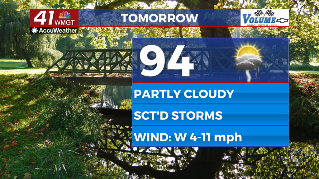
Tomorrow


Another partly cloudy afternoon is likely Tuesday with temperatures reaching into the mid to upper 90s with real feels over 100 across the region. The odds for rain should be a bit higher than today with around half the region likely seeing storms over the latter half of the day. The wind will flow from the west around 5-10 mph with gusts to around 15 mph.


Overnight will be muggy and mostly clear with low temperatures likely in the mid 70s. The wind will be light out of the west-southwest. Some fog will be possible Wednesday morning, especially for areas that receive rain late Tuesday.
Wednesday and Beyond


Another round of scattered storms is likely Wednesday afternoon with temperatures climbing into the upper 90s for much of the region. Even hotter conditions are likely later this week and this weekend. Limited rain odds are expected with the worst of the heat.
Watching the Tropics


There are three areas of interest in the Atlantic Basin. The closest one to the US East Coast is expected to drift out to sea and thus is not of concern. However there are two areas in the southeastern Atlantic that will meander west over the coming days. The one further west (closer to the Caribbean) has low odds to develop over the next week (10%), however the one trailing behind it (further east) has 60% odds to become a Tropical Depression in the next 7 days.

Follow Chief Meteorologist Aaron Lowery on Facebook (Aaron Lowery 41NBC) and X (@ALowWX) for weather updates throughout the day. Also, you can watch his forecasts Monday through Friday on 41NBC News at 4, 5, 5:30, 6, and 11 p.m.