Another round of isolated storms likely Friday
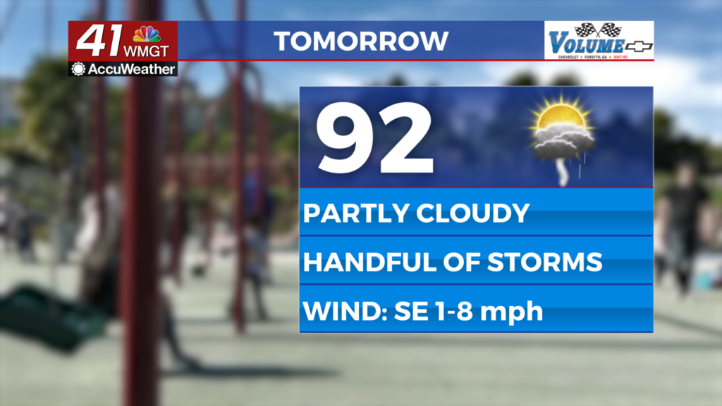
MACON, Georgia (41NBC/WMGT) – The current pattern will continue with a handful of storms possible over the back half of the day Friday.
This Evening


It’s been a seasonal afternoon around Middle Georgia with many heat indexes in the upper 90s and lower triple digits. While there haven’t been many storms to this point more are possible through the evening and into early tonight. The wind will be light and variable through the evening before resolving out of the east-southeast around 5 mph after midnight. Temperatures should drop into the lower 70s for most of the region and those who get rain this evening will have increased odds for fog early tomorrow.
Tomorrow


A bit more sun is expected Friday with about half the region likely to see storms in the afternoon and evening. Temperatures should peak in the lower 90s for most of the region with close to half of Middle Georgia locations seeing heat indexes reaching 100 degrees. Organized severe storms are not expected however the largest and most intense ones may bring a few strong wind gusts or small hail.


Overnight a few showers and perhaps a storm will be possible during the first half of the night. Expect low temperatures in the lower 70s across the region with ambient wind being light and variable through the night.
This Weekend and Beyond


The current pattern will continue with temperatures reaching the low to mid 90s under partly cloudy skies and scattered storms in the afternoon and evening. This will likely carry through the weekend and into a good chunk of next week, so keep the rain gear as well as the sunscreen handy.

Follow Chief Meteorologist Aaron Lowery on Facebook (Aaron Lowery 41NBC) and X (@ALowWX) for weather updates throughout the day. Also, you can watch his forecasts Monday through Friday on 41NBC News at 4, 5, 5:30, 6, and 11 p.m.