Isolated storm odds persist as a typical summer pattern settles in
MACON, Georgia (41NBC/WMGT) – High pressure is expected to build in off the east coast of the US leading to seasonal temperatures and isolated pop up storms.
This Evening


Isolated showers and storms are ongoing around Middle Georgia with a few more likely as the afternoon and evening continue. Most of the activity will subside by sundown with a couple of showers possibly lingering until around midnight. It will be a muggy night with temperatures reaching their valleys in the lower 70s. The wind will be light out of the southeast. Those who receive rain this evening/early tonight will have the best chance to see fog out the door Wednesday morning. Allow more time for morning commutes with the return of school this week!
Tomorrow


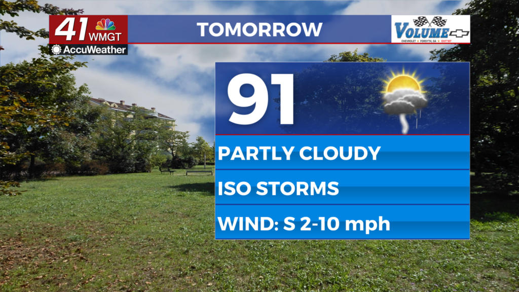
A bit more sunshine is likely Tuesday as temperatures largely climb into the lower 90s for afternoon highs. Heat indexes should reach the upper 90s and lower triple digits. About half the region should see showers and storms over the latter half of the day. The ambient wind will be light out of the south.


Overnight will be partly cloudy and seasonal with low temperatures expected in the lower 70s. The wind will be light from the south-southeast and some fog will be possible, especially for areas that receive rain Wednesday evening.
Thursday and Beyond


Scattered storms are likely again Thursday with a bit more cloud cover. Despite this temperatures should still largely reach the upper 80s and lower 90s. The odds for storms should be more isolated heading into the weekend, however it will be close to half the region receiving rain each day generally speaking over the next several days. The good news is at this time no major heat (out of the ordinary) is expected.

Follow Chief Meteorologist Aaron Lowery on Facebook (Aaron Lowery 41NBC) and X (@ALowWX) for weather updates throughout the day. Also, you can watch his forecasts Monday through Friday on 41NBC News at 4, 5, 5:30, 6, and 11 p.m.