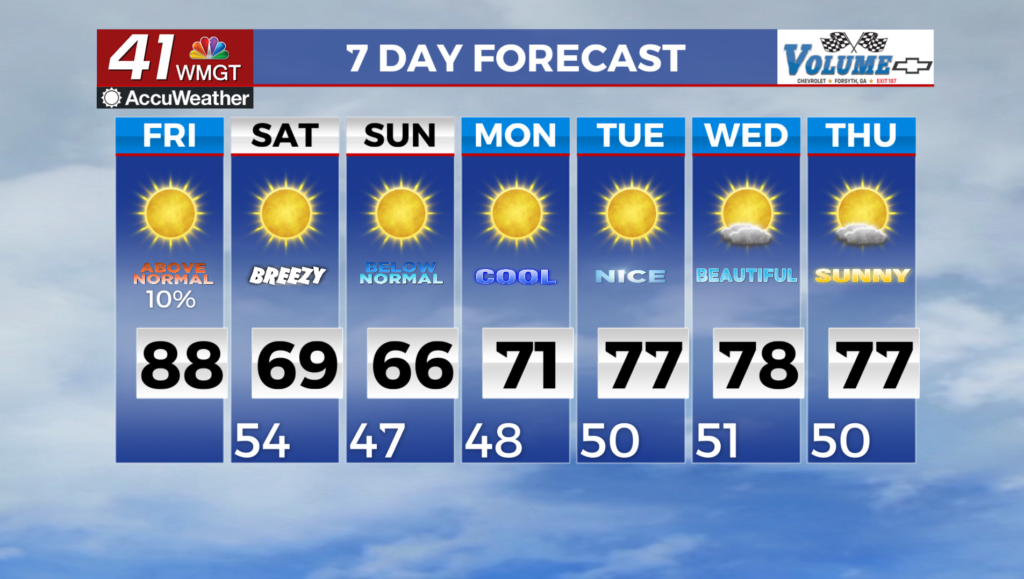

Temperatures to reach their peaks for the week Friday afternoon
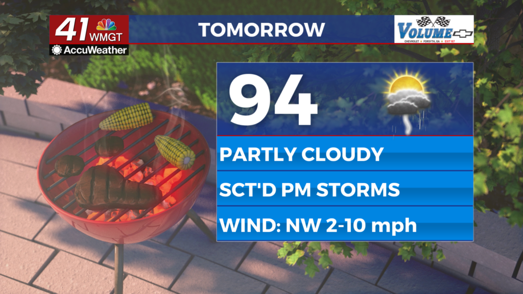
MACON, Georgia (41NBC/WMGT) – Temperatures should reach into the 90s across Middle Georgia Friday afternoon with real feels pushing towards 105 for much of the region.
This Evening
It’s another partly cloudy afternoon today and the hottest so far this week as many locations have seen real feels eclipse 100 degrees. Scattered showers and storms are ongoing as well and will persist through the evening hours before slowing after the sunset. It will be another warm night as low temperatures will largely only drop into the mid 70s. Fog will be possible overnight particularly in areas that receive rain this evening. The wind will flow from the west-northwest around 5 mph.
Tomorrow
Friday will be the hottest day of the week as temperatures climb into the mid 90s and heat indexes largely eclipse 100. A heat advisory hasn’t been issued at this time however that possibility is absolutely there before tomorrow arrives. Another round of scattered storms is likely tomorrow evening as well.


Some showers and storms may linger into the early overnight hours tomorrow night however all activity should subside not long after midnight. Temperatures will again valley in the mid 70s with heat indexes closer t0 80 by Saturday morning. Fog will again be possible in areas that receive rain Friday evening.
This Weekend
The expectation for the coming weekend through much of the week has been lower rain odds and higher temperatures. And while the American (GFS) model is still sticking with that trend, many others are breaking away from it with now lower 90s expected and higher storm odds. This is because the remnants of the stationary front from this week are expected to organize into an area of low pressure over the northeastern part of the Gulf of America. Regardless of whether or not this develops into something more sometime next week its proximity to Georgia will likely keep rain chances elevated and a bit more cloud cover around, leading to temperatures staying near or a bit below average instead of the expected heat wave.
Watching the Tropics
As mentioned above the remnants of the stationary front are expected to form into an area of low pressure in the northeastern Gulf. It is expected to track northeastward across Florida before possibly developing further off the coast of Georgia/South Carolina. As of now there are 20% odds for this area to become a Tropical Depression within the next 7 days. The area off the west coast of Africa is also still there with 10% odds for development both in the next 48 hours and over the next 7 days.

Follow Chief Meteorologist Aaron Lowery on Facebook (Aaron Lowery 41NBC) and X (@ALowWX) for weather updates throughout the day. Also, you can watch his forecasts Monday through Friday on 41NBC News at 4, 5, 5:30, 6, and 11 p.m.