
Expect another round of showers and storms
MACON, Georgia (41NBC/WMGT) – Cloud cover remains scattered to broken across the area. Northwest Georgia has seen the greatest clearing as convective mixing takes place. The I-85 corridor has seen stratus clouds and that has protected us from convection through most of the morning. We could see convection, further backed by increased clouds returning across the region. 


We will likely continue to see these develop through the day. While the severe threat is also lower than yesterday, a few strong storms may still be possible this afternoon and evening. Gusty winds, frequent lightning, and locally heavy rainfall are all possible. Conditions continue to be summer-like however, our chances for rain will be lower than previous days as the Bermuda high is shoved south via an upper level trough descending the Omega block over the Central U.S. Weakened southwest flow will reduce thunderstorm coverage partly this afternoon. We will still see the 


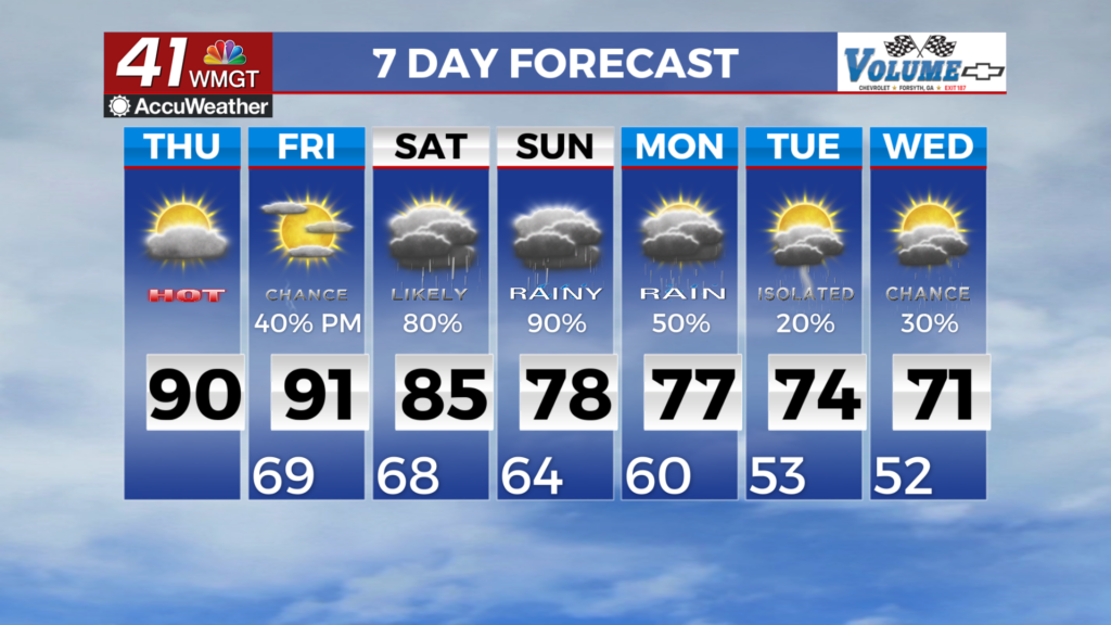
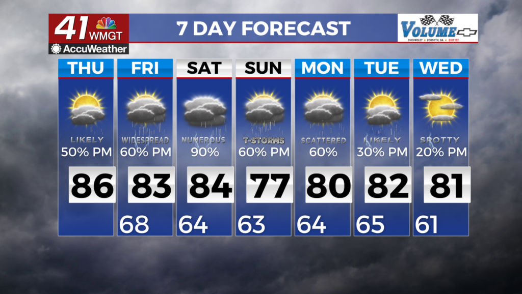
probability of precipitation of at least 20 to 40 percent across even the lowest areas tomorrow afternoon. Conditions rebound back to a wet pattern as we enter the end of the week and the beginning of next week. Ridging to the west is developing on the upstream side of the block and will likely bring a return of weak low level southwest flow to the area, while north flow brings a frontal feature down across the area. Temperatures will remain fairly consistent to previous days, with a slight cool down as we enter the weekend. Highs Friday may only reach the low 80s or even the upper 70s across the metro, slightly warmer in Middle Georgia.