Another shot of cooler air is on the way

MACON, Georgia (41NBC/WMGT) – The satellite loop shows clear skies across the state. A high pressure ridge centered over Georgia is keeping things cool and dry as it is moving east. This 


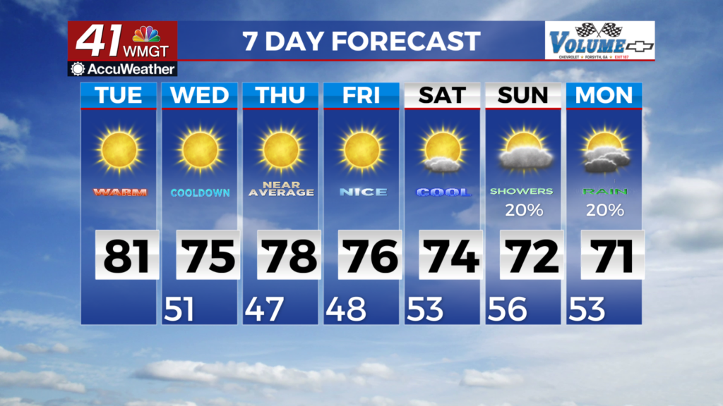
 ridge is expected to move off the Georgia/South Carolina/North Carolina coast just before daybreak Tuesday allowing a moisture starved frontal boundary to move into the Southeast U.S. This front is currently developing over the northern and Central Plains and will move east to southeast overnight. This front pushes into the northwest portion of the state around daybreak. The parent closed low center will be rotating across Michigan Tuesday morning while the tail end of its associated cold front pushes into Northwest Georgia. Because it’s just the tail end of the front that sweeps through the state, the better dynamics, moisture, and instability will be well north of our area. We may see an isolated shower or two as the front moves across the southern Appalachian ridge into Northwest Georgia but it really dries out through the day as it moves further southeast. Most locations across the state will only see increased mid to high level clouds from this frontal boundary. The one thing this front will do is bring in a reinforcing shot of cooler air. Low temperatures tonight will dip down into the 40s with highs rebounding into the 70s to mid 80s. This front brings in a cooler airmass with highs expected in the 60s and 70s Wednesday.


