Below normal temperatures continue for Middle Georgia
MACON, Georgia (41NBC/WMGT) – Pleasant conditions will continue across the region through the middle of the week as a mid-level trough remains parked over the Eastern U.S. Deep low to 


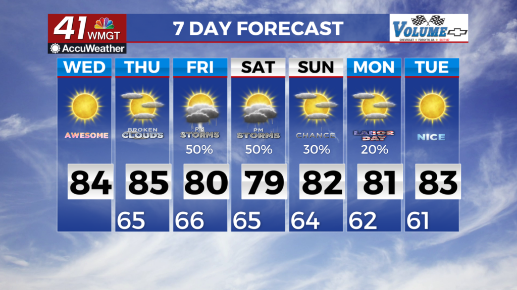
 mid-level northwest flow on the backside of the trough will reinforce a very dry airmass over Georgia, with dewpoints in the 50s. Rainfall chances will be near zero under mostly clear skies. Temperatures each afternoon will only climb into the upper 70s to low 80s across north Georgia, with mid to upper 80s across Central Georgia. Minimum temps is the notable headline as lows fall into the mid to upper 50s in some areas. We could even see a few daily record temperatures be tied or broken across the region. The long term forecast begins with one more dry day before we start to see rain chances return. The overall upper level pattern of the long wave trough over the Eastern U.S. will prevail but with a shortwave trough/impulse pushing through the flow overnight Thursday into Friday. Models remain split over the amount of moisture pushing into the area. The overall thinking is that we will see some type of showers move into the area as a boundary sinks southward into Middle Georgia. Rain chances as a result will push southward into Middle Georgia area with daily diurnally driven showers and thunderstorms into mid week. Temperatures will continue to be the main story as the arrival of a secondary cold front will reinforce the cooler and drier air and the high/low temps through the long term. High in the upper 70s to low 80s can be expected with low in the upper 50s to low 60s which are 3-7 degrees below normal.


