Cooler temperatures and drier conditions likely starting tomorrow
MACON, Georgia (41NBC/WMT) – Following a cold front over the weekend into today temperatures and dew points around Middle Georgia will drop.
This Evening


Skies are largely clear around Middle Georgia this afternoon and should stay that way through the evening and into tonight. Scattered cirrus clouds will be possible overnight but that should be all. Overnight lows will be in the low to mid 60s, or almost 10 degrees below the average for this time of year. Wind will flow from the northwest at 5-10 mph with gusts reaching as high as 15 mph. No rain is expected.
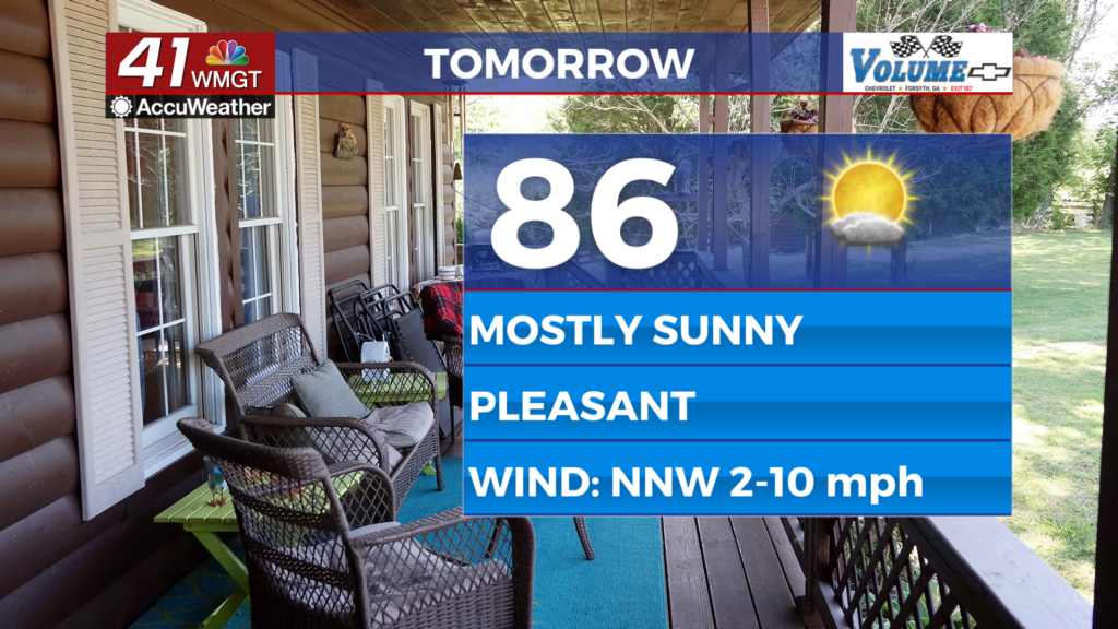
Tomorrow


Another mostly sunny day is likely around Middle Georgia with highs likely in the mid to upper 80s. Real feels should be around the same if not a degree or two higher. Wind will flow from the northwest-northwest at 5-10 mph with gusts between 10-15 mph.


Overnight the wind will slow some while staying from the north-northwest. Skies will be partly cloudy with lows expected largely in the lower 60s. A few upper 50s cannot be ruled out.
Wednesday and Beyond


Wednesday will also be sunny with highs in the mid to upper 80s accompanied by light wind from the northwest-northeast. Rain chances should stay low through Thursday before the odds increase again Friday and Saturday. Temperatures will stay below average all week and into Labor Day Weekend.
The Tropics

Tropical Storm Fernand is churning in the Atlantic Ocean but will stay out to sea. There are no other areas to monitor at this time.

Follow Chief Meteorologist Aaron Lowery on Facebook (Aaron Lowery 41NBC) and Twitter (@ALowWX) for weather updates throughout the day. Also, you can watch his forecasts Monday through Friday on 41NBC News at 4, 5, 5:30, 6, and 11 p.m.