


Hot and humid then a brief cool down for Wednesday
MACON, Georgia (41NBC/WMGT) – Hot and humid conditions will remain prevalent in Georgia today. Forecast high temperatures in the upper 90s and afternoon dewpoints in the mid 70s 


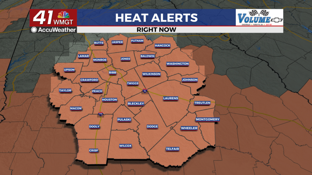
 will push heat indices into the triple digits. The most intense heat indices, between 105 and 109 degrees are expected within Middle and eastern Georgia. These values are most probable between noon and 4 pm, due to the potential for thunderstorms to bring cooling rains by late afternoon. For areas along and north Interstate 85, heat indices of 100 to 104 degrees are expected. Anyone participating in outdoor activities today should take precautions to limit the risk of heat-related illness. A weak trough along the Georgia/Carolina coastline, a backdoor cold front sagging south through Northeast Georgia, and lingering moisture will help afternoon and evening thunderstorms continue on Tuesday. The timing of the fronts arrival and convective initiation along the sea breeze suggest a later peak in convective activity. Models suggest East Central Georgia has the best convective threat at 4 pm and 10 pm. Organized clusters of storms with wind gusts in the 40-60 mph range can’t be ruled out. Isolated pockets of tree or powerline damage are possible.