Turning up the heat this weekend
MACON, Georgia (41NBC/WMGT) – Temperatures will climb into the upper 90s and triple digits across Middle Georgia this weekend.
This Evening


Partly sunny skies will give way to mostly clear conditions through the evening and into tonight. A few spotty storms are possible, however most of the region will stay dry. Expect light wind from the southwest around 5 mph overnight with lows largely in the lower 70s. Patchy fog will be possible ahead of the sunrise Saturday.
Tomorrow


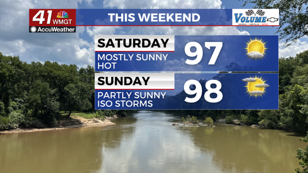
A mostly sunny day is anticipated Saturday with highs mainly in the upper 90s, however the hottest spots could push 100. Heat indexes will likely push 105 for much of the region, however at this time no Heat Advisory has been issued. That could change over the weekend, however. Rain odds will be very low for our Saturday afternoon/evening however a spotty storm or two cannot be ruled out. Wind will flow from the southwest at 5-10 mph. The UV Index will be around 11/12 through the weekend, so sunscreen is a must for anyone enjoying the outdoors.


Overnight will be mostly clear with lows again expected in the low to mid 70s. Wind will be light from the west-southwest, and patchy fog will be possible leading up to the sunrise Sunday morning.
Sunday and Beyond


A few more clouds are likely Sunday afternoon however it won’t be enough to make any sort of impact on the heat. Sunday will likely be a degree or two hotter than Saturday and the odds for a Heat Advisory will increase leading up to the next work week. Storm odds will be slightly higher than Saturday, and a few more clouds are also expected through the overnight hours. The wind will be light as it generally flows from the west.

Temperatures will stay in the upper 90s and low triple digits into early next week, however a bit of a drop off is anticipated by next Wednesday. Storm chances will also be up for the first few days next week as well.
Watching the Tropics

As of now there are no areas of interest in the Atlantic Basin.

Follow Chief Meteorologist Aaron Lowery on Facebook (Aaron Lowery 41NBC) and Twitter (@ALowWX) for weather updates throughout the day. Also, you can watch his forecasts Monday through Friday on 41NBC News at 4, 5, 5:30, 6, and 11 p.m.