Scattered showers and storms continue for Thursday
MACON, Georgia (41NBC/WMGT) – As we move into the middle of the week and beyond, we retain our pattern of afternoon showers and thunderstorms. However, a stronger shortwave will 

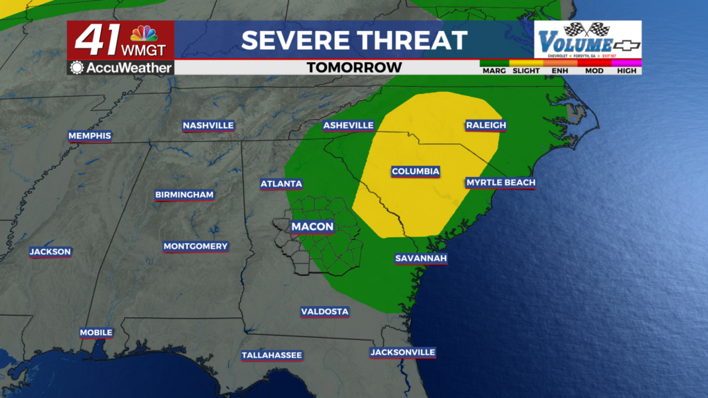
 provide a bit more oomph to the convective coverage for some areas today. A deep layer flow supports a conveyor belt of moisture into the Southeast, and this is reinforced at the surface by additional moisture-rich southwesterly flow along the western edge of the Bermuda High. Convective initiation has become scattered to numerous in coverage this afternoon. Instability will be bolstered due to surging moisture. As a result of our moist environment, we will see the potential for precipitation-loaded downdrafts to produce isolated damaging wind gusts, especially across the eastern half of the forecast area where a Marginal (level 1 out of 5) Risk has been introduced by the Storm Prediction Center. In concert with the bolstered severe chances, the lack of steering flow will mean that storms that form may move little and perhaps even back build at times. A narrow corridor across far southeast Middle Georgia has been outlooked in a Slight (level 2 out of 5) Risk for Excessive Rainfall. Moving into Thursday, similar conditions are expected with even more widespread afternoon thunderstorms than today. The Storm Prediction Center has introduced a Slight (level 2 out of 5) Risk across far east Central Georgia, again highlighting increased chances for strong water-loaded downbursts capable of producing isolated damaging gusts. Highs today and tomorrow will be generally cooler than we’ve seen in the past few days, in the mid-80s to mid-90s, thanks to increased coverage of afternoon thunderstorms and cloud cover.