Isolated shower for Tuesday, then the Wednesday warm-up
MACON, Georgia (41NBC/WMGT) – The cut-off low remains centered along the Gulf Coast. The low continues to move slowly east over the coming day and slowly brings to an end wet and active 
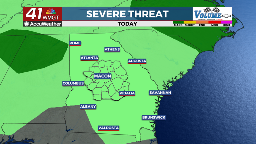
 conditions. Temperatures rebound quickly through Wednesday with highs increasing to the mid and upper 80s. Storms could develop. For Wednesday evening, lingering rain chances will cover much of eastern Georgia as the low pressure system currently over the area pushes into the northeast overnight Wednesday into Thursday morning. If storms are able to form with the main forcing mechanism pushing well northeastward, then we are likely to see general thunder-type risk outlined by the Storm Prediction Center over north Georgia with main threats likely to be small hail and gusty winds. Looking ahead to Thursday, the low pressure system will well be into the northeast, with short term ridging over Georgia which will result in one day of dry weather for our area. With surface high pressure funneling warm moist air into the area, temps will quickly rise into the 90s over most of the area.