


Ready or not, here comes the heat
MACON, Georgia. (41NBC/WMGT)- The past few days have been very comfortable, but the heat cranks up this weekend as high pressure moves in.
TODAY.
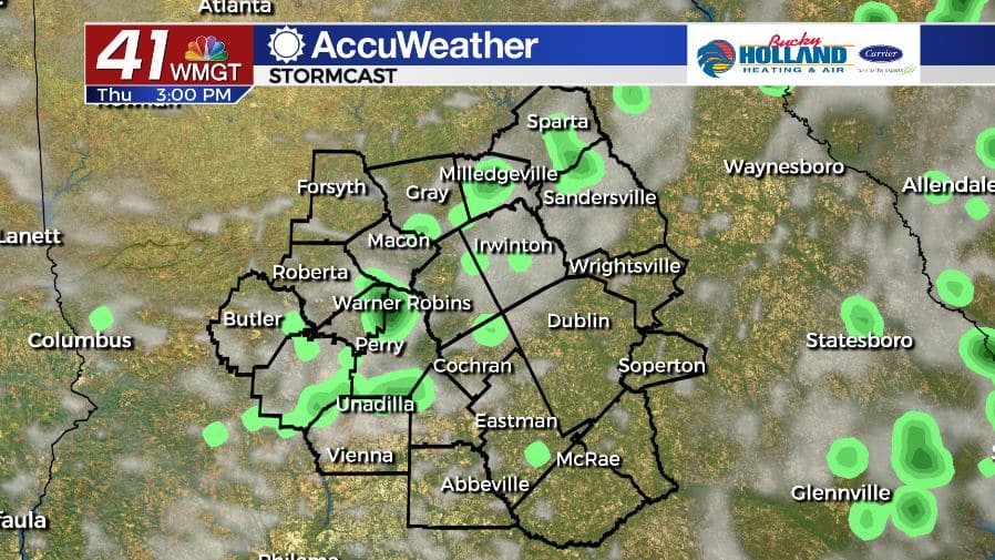
Under a partly sunny sky, high temperatures will top out in the middle 80’s this afternoon. Afternoon showers and storms will be isolated at best but it would not be a bad idea to keep the umbrella handy. Overnight lows will be right back in the middle 60’s under a partly cloudy sky.
TOMORROW.

It’s Friday! Temperatures will climb back into the low 90’s for the first time in a few days as we close out the work week. Isolated showers and thunderstorms will be in the forecast as well.
WEEKEND & BEYOND.

We officially kick off summer on Saturday evening and it is going to feel like it. High temperatures this weekend will be in the low to middle 90’s each afternoon. An extremely isolated shower or two is possible, but most stay dry as high pressure builds in. Showers and storms return on Monday.

Follow Meteorologist Dalton Mullinax on Facebook (Dalton Mullinax 41NBC) and Twitter (@MullinaxWX) for weather updates throughout the day. You can also watch his forecasts Monday through Friday on 41NBC News at Daybreak (6-7 a.m.) and 41Today (11 a.m).

Leave a Reply