More clouds and warmth coming to end the week
MACON, Georgia (41NBC/WMGT) – Cloud cover, heat, and humidity will continue to rise ahead of the weekend.
The Rest of the Evening


High level clouds moved in last night and have blanketed much of Georgia today. These will not budge as we head into tonight, helping to insulate the state and lead to warmer low temperatures. Additionally, winds are now coming from the south-southeast at around 5 mph. Low temperatures will largely be in the low to mid 40s ahead of Friday morning. No rain is expected tonight despite the cloudier conditions.
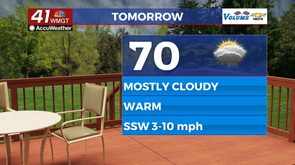
Tomorrow


It will be a partly to mostly cloudy day around Middle Georgia, however conditions will be rather toasty as temperatures largely climb into the lower 70s. Winds will be a bit breezy from the south-southwest, gusting between 12-18 mph. No rain is expected during the day despite the added cloud cover.


It will be even warmer tomorrow night as the south-southwest winds continue under mostly cloudy skies. Lows will be in the mid 50s around the region heading into Saturday morning.
This Weekend and Beyond


Saturday will be mostly cloudy and warm with the possibility for a couple of showers, especially late in the afternoon. Temperatures will peak in the low to mid 70s around the region. It will remain cloudy into the overnight hours with temperatures only falling into the upper 50s and lower 60s.

More widespread rain should hold off until Sunday while the stationary front stalls over the middle of the Peach State. This will turn into a warm front that brings more rain Sunday night and into Monday. Thunderstorms are possible Monday as another cold front finally passes through.

Follow Meteorologist Aaron Lowery on Facebook (Aaron Lowery 41NBC) and Twitter (@ALowWX) for weather updates throughout the day. Also, you can watch his forecasts Monday through Friday on 41NBC News at 4, 5, 5:30, 6, and 11 p.m.


