

Wet Mother’s Day Weekend
MACON, Georgia (41NBC/WMGT) – An elongated upper trough extends from southeast Canada to the ArkLaTex, with moist southwesterly upper flow overspreading the southeast as a 
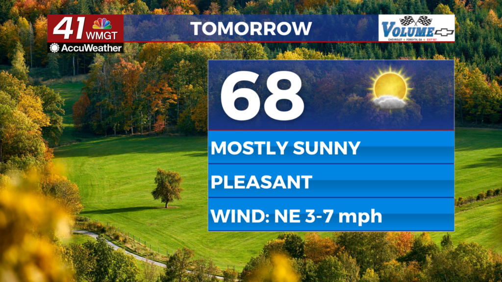
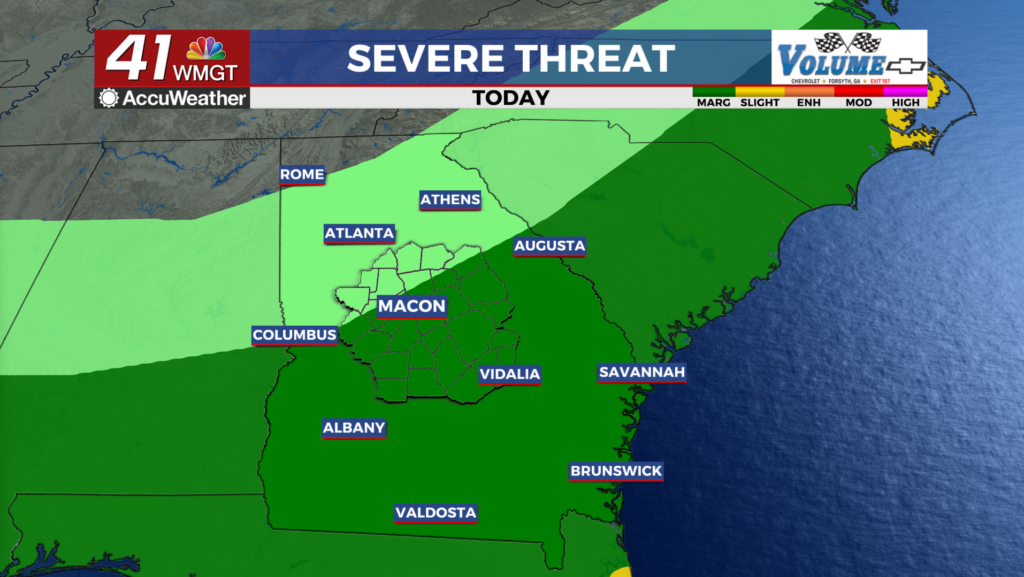
 result. A shortwave traveling the southwest flow will push into the region on Friday afternoon and evening, which will provide a lifting mechanism and lead to an increase in showers and thunderstorms. High temperatures in the low to mid 80s and dewpoints in the mid to upper 60s in Middle Georgia will contribute to the formation of at least scattered thunderstorms. A few storms in the afternoon and evening could become strong, capable of producing gusty winds and hail. A Marginal Risk (Level 1 out of 5) is again maintained for portions of Middle Georgia/east Georgia. The weekend will start off with continued unsettled weather, as an upper level trough cuts off over the Northwest Gulf Coast and ridging develops across the Caribbean. This will start a stagnant pattern, as the now-closed-off upper level low sits in place along the Gulf Coast through the weekend. The low will pump several rounds of warm moist air over Georgia, with daily chances for showers and thunderstorms. From the early to middle portions of next week, the low will finally lift north and east across the southeast U.S. with widespread moderate to heavy rainfall ahead of it. The period of heaviest rainfall looks to be Monday and Tuesday, with increased concerns for localized flooding due to the repeated rounds of rainfall over a multiple day stretch. Temperatures from the weekend through early next week will be cooler than normal, with highs generally in the 60s to low 70s, and overnight lows in the upper 50s to low 60s.