

Weekend Weather Update
After a rainy week, there is finally light at the end of the tunnel! Right now, there is an MCS pushing into western Georgia. I’m sure you’re thinking, “OK…what does that even mean?” MCS stands for Mesoscale Convective System, and that is basically just meteorological terminology for a complex of storms that organizes on a larger scale. The front edge of this line of storms stretches from northern Alabama all the way down past the Florida panhandle.
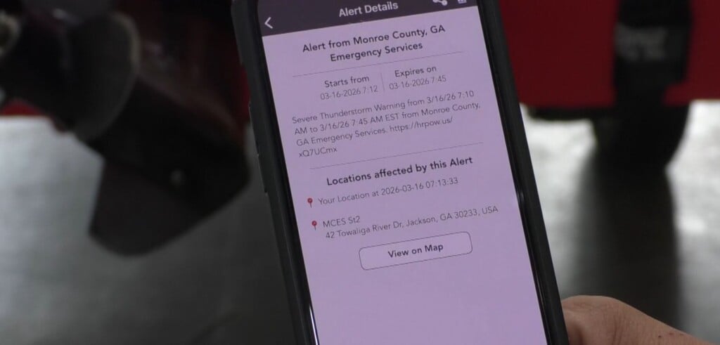
Throughout the morning, the MCS has been weakening as it traveled from Louisiana, through Mississippi and Alabama. The models have been showing that the line of storms will break apart by the time it reaches middle Georgia. However, I think it may stay together (based off current radar loop). Throughout the next few hours, the line will move into middle Georgia. You can expect heavy rain, some lightning and possibly some gusty winds. If you have any loose items outdoors, you may want to consider tying them down or moving them inside, just in case the wind gusts.
Once this line moves through, there is still the chance for some showers/storms in the afternoon hours. Wrap around moisture from a low pressure system may allow for more precipitation to occur. There’s a slight chance for lingering showers in the early morning hours tomorrow. I expect the bulk of the rain to be gone by late morning. We may even see the sun trying to break through the clouds tomorrow afternoon.
Finally, on Sunday there is no rain in the forecast! That’s something to be excited about. Sunday will be beautiful – mostly sunny with a high temperature right around 80.
Enjoy your weekend, everyone!

Leave a Reply