Wednesday brings a slight cool down, more scattered storms
A weak cold front will be moving into Middle Georgia by Wednesday, setting up for another day of scattered storms, but slightly cooler temps.

We got the full summertime treatment across Middle Georgia this afternoon, as highs warmed to the 90s and strong storms popped up.
A few storms had gusty winds and hail, as well as frequent lightning.
Overnight a weak cold front will continue to push south and into Georgia.
Where this front stalls tomorrow will dictate where we see the best chance of showers and storms.
Based on the current forecast models, this will likely be somewhere in Middle Georgia.
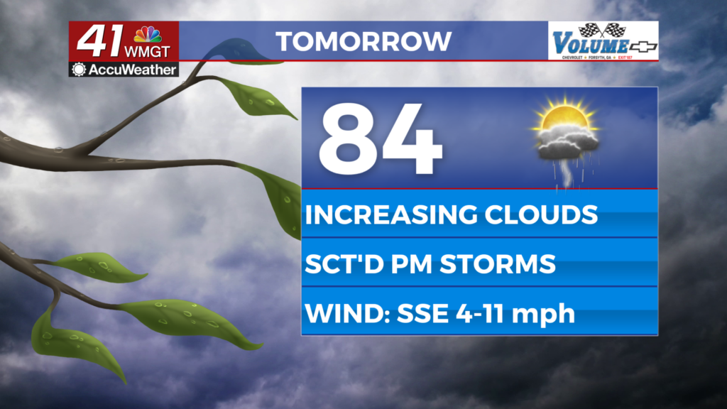
To the north of the front, we will see a small cool-down into the upper 80s.
South of the front will likely see more heat and humidity, but a better chance of storms.

The front will continue to hang out, but transition into a stationary front.
A few storms will be possible through the end of the week, especially along and south of this boundary.
Highs for the rest of the week should stay mainly in the mid and upper 80s.

The weekend is really when we will see a big jump in our temperatures to the mid 90s.
Once again a few pop-up storms will be possible for the weekend.
Next week will bring the potential for a front to move through Monday and Tuesday which will bring more rain and a slight cool down.