


Warm weather ahead for final days of winter
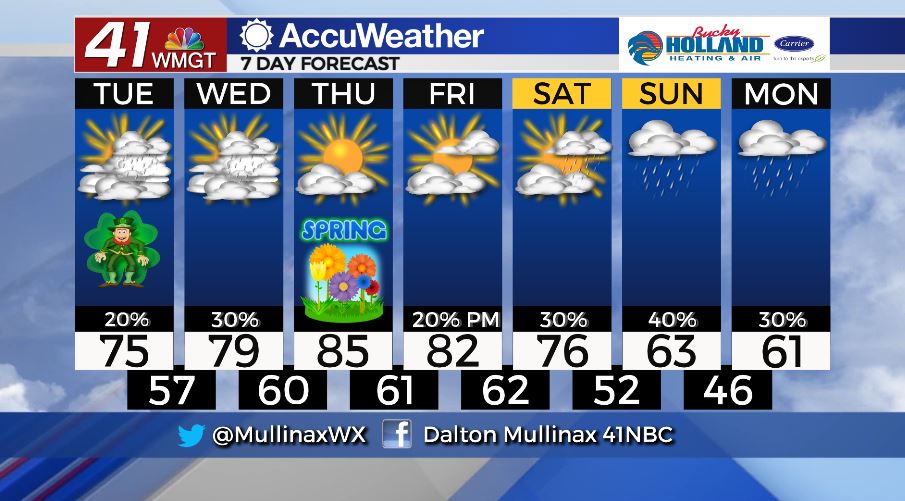
MACON, Georgia. (41NBC/WMGT) – After a cooler afternoon yesterday, temperatures will gradually warm over the next couple of days as rain chances increase.
TODAY.

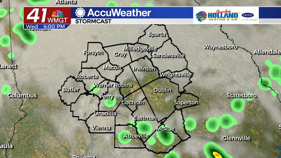
Under a partly to mostly cloudy sky this afternoon, temperatures will top out in the middle to upper 70’s area-wide. Isolated showers are forecast today as well. Tonight, we will keep a few showers around as temperatures fall into the middle and upper 50’s under a cloudy sky.
TOMORROW.
Increased shower coverage will be evident on Wednesday as a frontal boundary lifts to the north. Temperatures will top out in the upper 70’s and low 80’s during the afternoon before falling into the low 60’s overnight. Cloudy conditions hang around throughout the forecast.
EXTENDED FORECAST.
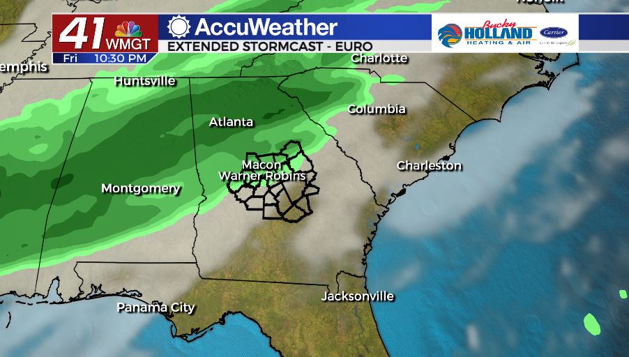
Our warmest day will come on Thursday, the first day of Spring, as temperatures climb into the middle 80’s all across Middle Georgia. We stay dry on Thursday before shower coverage increases late Friday night and into the weekend with a cold front. Temperatures will cool throughout the weekend with highs topping out in the low to mid 60’s by Sunday.
Follow Meteorologist Dalton Mullinax on Facebook (Dalton Mullinax 41NBC) and Twitter (@MullinaxWX) for weather updates throughout the day. You can also watch his forecasts Monday through Friday on 41NBC News at Daybreak (6-7 a.m.) and 41Today (11 a.m).

Leave a Reply