
Unsettled weather pattern increases rain chances
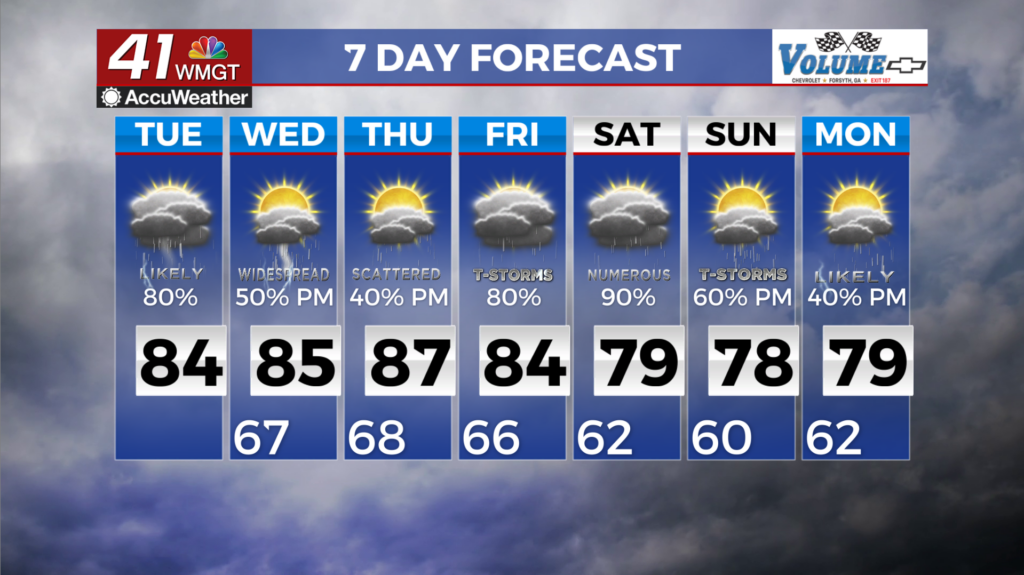
MACON, Georgia (41NBC/WMGT) – The forecast remains largely the same — a somewhat tropical environment with waves of showers and thunderstorms, highest in coverage in the afternoon 


to evening, and cloudy, humid, with misty nights and mornings. Convection continues to be diurnally-enhanced and summer-like, with the highest chances in the afternoon, with a lull overnight. Some weak organization of thunderstorms are expected this afternoon, bolstered by yet another remnant Gulf wave lifting north and east. Models continue to show nearly saturated 


profiles. Any storms that form will be sufficient rainfall producers. Localized flash flooding concerns will continue. Training storms, or storms that anchor to any lingering outflows or boundaries, could drop a quick 2 to 3 inches of rainfall. A Flood Watch is in effect for areas generally along and north of I-85 to highlight increased chances for localized flash flooding and the flooding of creeks and streams through late Tuesday. The strongest upward pulses will likely have precipitation-loaded downdrafts capable of producing isolated damaging wind gusts, however the summer-like environment with unimpressive dynamics should preclude any severe concerns from becoming widespread or numerous. Any clustering of storms will likely bolster chances for damaging winds. Wednesday will be yet another near-carbon copy of today, with additional rounds of showers and thunderstorms expected into the afternoon and evening.