


Two more dry days before rain and storms return
MACON, Georgia. (41NBC/WMGT) – High pressure will continue to build into the region setting us up for a gorgeous couple of days here in Middle Georgia.
TODAY.
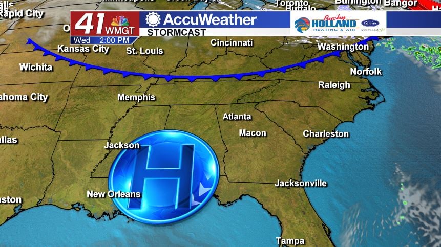
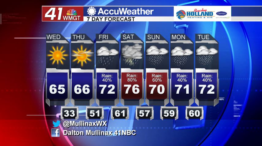
Behind yesterday’s cold front we have cleared out and cooled off to start the day. This afternoon under a sunny sky, temperatures will be running above average in the middle 60’s. As we head into the overnight hours, temperatures will begin to fall quickly. Under a clear sky, low temperatures will bottom out in the low to middle 30’s across the area.
TOMORROW.
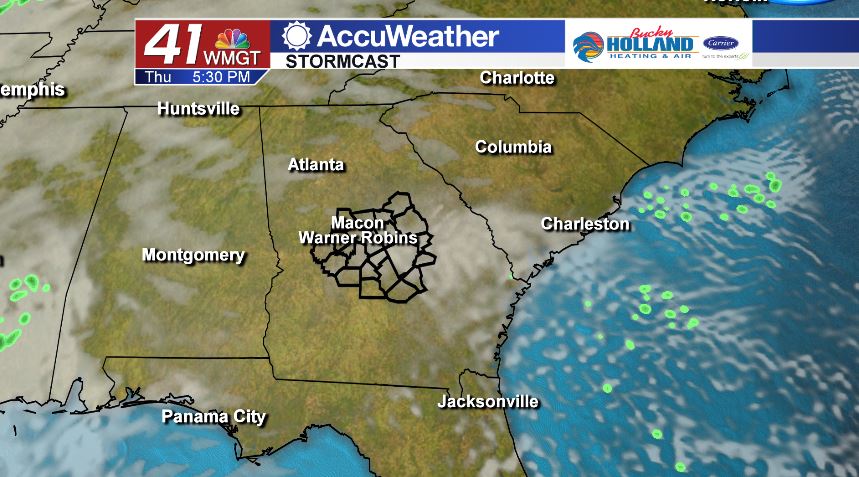
We’re going to hit the repeat button for Thursday with the only difference being that we will begin to see clouds creep back into the Middle Georgia sky tomorrow evening and into the overnight hours. This will be the final day of dry weather through at least the early portion of next week.
FRIDAY AND BEYOND.
The return of moisture on Friday will be accompanied with warmer temperatures. High temperatures will top out in the low 70’s under a mostly cloudy sky. Rain showers will be scattered throughout the day.
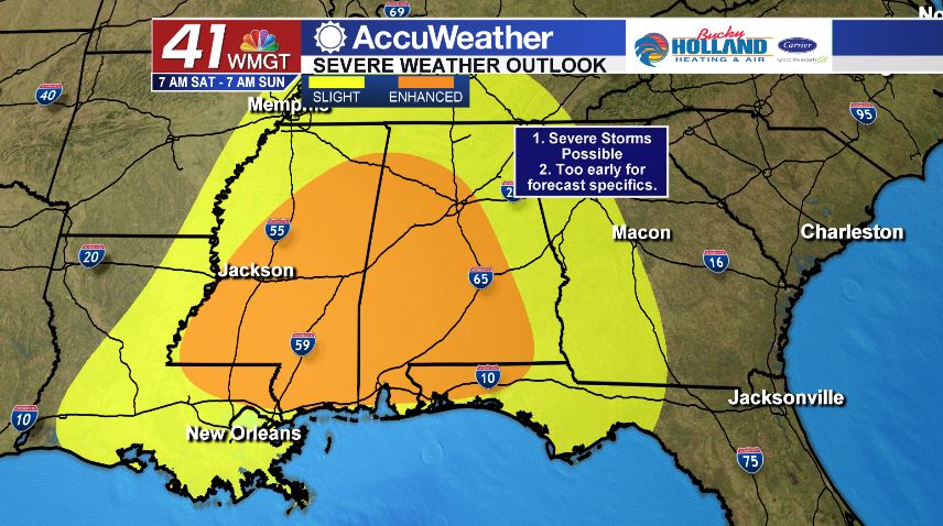
The main weather event of the weekend will come in with a dynamic storm system that will be moving out of the plains states. As of 5 am this morning, the Storm Prediction Center has included parts of our area in a Slight (level 2/5) risk area. We are still a handful of days away from this event playing out, and the forecast will change, but now is the time to be prepared. Timing and potential impacts will be fine tuned in the coming days, so stay tuned.
Follow Meteorologist Dalton Mullinax on Facebook (Dalton Mullinax 41NBC) and Twitter (@MullinaxWX) for weather updates throughout the day. You can also watch his forecasts Monday through Friday on 41NBC News at Daybreak (6-7 a.m.) and 41Today (11 a.m.)

Leave a Reply