Tropical disturbance to bring rain to Middle Georgia
MACON, Georgia. (41NBC/WMGT)- An area of low pressure off of the Georgia coast will move inland Monday night. There is a 60% chance this becomes a tropical depression or tropical storm before moving onshore.
TODAY.

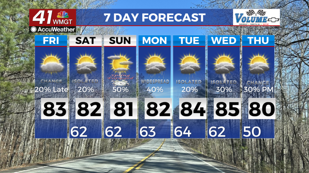
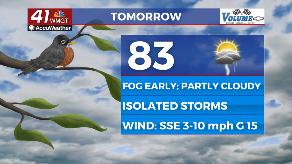
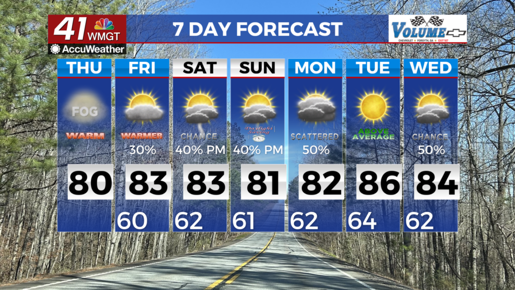
Partly sunny conditions this afternoon will allow for temperatures to warm to near 90° in spots. Shower and thunderstorm chances will go up this afternoon and evening as covered is expected to be scattered. Tonight, a few isolated downpours will be possible as the area of low pressure moves right through Middle Georgia. Temperatures will cool into the upper 60’s and lower 70’s.
TOMORROW.

Rain will remain fairly scattered Tuesday as our typical summertime pattern continues across the southeast. Temperatures tomorrow will warm into the upper 80’s under a partly sunny sky before falling back into the upper 60’s overnight.
WEEK AHEAD.

Isolated showers are possible through Thursday before rain chances increase as we head into the weekend. Scattered showers and storms are possible during the holiday weekend. Temperatures will remain slightly below average with high temperatures staying in the 80’s on most afternoons.

Follow Meteorologist Dalton Mullinax on Facebook (Dalton Mullinax 41NBC) and Twitter (@MullinaxWX) for weather updates throughout the day. Also, you can watch his forecasts Monday through Friday on 41NBC News at Daybreak (6-7 a.m.) and 41Today (11 a.m).

Leave a Reply