Summer heat grips Middle Georgia
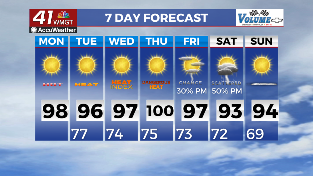
MACON, Georgia (41NBC/WMGT) – Summer heat will not relinquish its grip anytime soon as a broad ridge persists across the southern tier of the U.S. headed into Monday. The long-standing 


Heat Advisory continues through Monday evening (with extension beyond this time expected) as heat index values will easily reach the 105 threshold for the bulk of the area outside of the mountains on Monday. In fact, Monday looks likely to bring the hottest temperatures of the week for most areas before the ridge begins to retreat westward slightly thereafter. More widespread highs touching the upper 90s (with a couple 100 degrees readings possibly sprinkled in) are expected while soupy 70s dewpoints provide an environment ripe for heat indices between 105-109 by 


afternoon. As has been the case in the past few days, a few spots could flirt with 110 heat index maximums during the afternoon. As far as thunderstorm potential today is concerned, as expected, North Georgia is largely dry this afternoon as a bit of drier air has settled into that part of the state. Scattered thunderstorms will continue to be concentrated across Eastern and Middle Georgia through early evening before dissipating. For Monday, a convergent boundary/weak front settles across the Tennessee Valley into the Appalachians. Coupled with a mid-level wave, this will provide the fuel for thunderstorm development during the heat of the afternoon. While the bulk of this activity will likely be north of the area initially, these storms should propagate into far North Georgia through the afternoon gradually diminishing in coverage farther south towards I-20 corridor during the evening. The environment will be supportive of a few instances of strong to locally damaging wind gusts with this threat highlighted by a Slight Risk from the Storm Prediction Center for the far northern tier and a Marginal Risk farther south to the I-20 corridor.