


Few strong storms possible Wednesday
MACON, Georgia. (41NBC/WMGT)- An approaching cold front will allow for another afternoon of scattered showers and thunderstorms with a few strong storms possible.
TODAY.
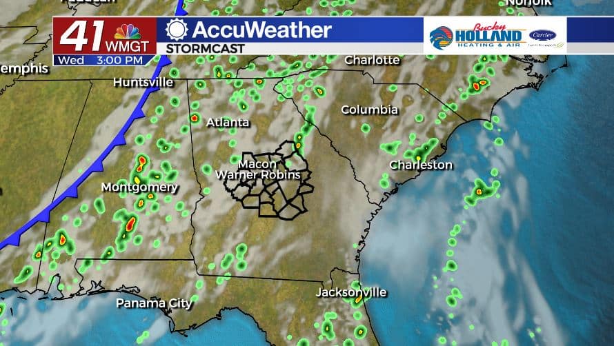
We’re finally going to get a little bit of relief in the humidity department as a cold front will move through our area overnight. This afternoon, under a partly sunny sky high temperatures will top out in the low 90’s. Scattered afternoon showers and storms are back in the forecast as well.

As of 5 am on Wednesday, June 10, the Storm Prediction Center has parts of Middle Georgia in a Marginal (level 1/5) risk area for severe storms today. The main storm threats will be damaging wind gusts, small hail, and frequent lightning.
A few showers will hang around overnight as the front moves through the state. Overnight lows will fall to near 70° under a partly to mostly cloudy sky.
TOMORROW.

We will start the morning off with a few showers and a little bit of cloud cover, but by the afternoon we clear things off and will be mostly sunny. High temperatures will top out in the low 90’s before falling into the middle 60’s overnight.
FRIDAY & BEYOND.

The cold front will be slow moving once it clears our area. This will allow for isolated rain and storm chances through the weekend. Temperatures will hold steady in the upper 80’s.

Follow Meteorologist Dalton Mullinax on Facebook (Dalton Mullinax 41NBC) and Twitter (@MullinaxWX) for weather updates throughout the day. You can also watch his forecasts Monday through Friday on 41NBC News at Daybreak (6-7 a.m.) and 41Today (11 a.m).

Leave a Reply